Koch Bihār night lights from space
Night Light of Koch Bihār (West Bengal) from space (India) Src. Average luminocity for 10x10km area is 41.7348% and for 50x50km: 7.9417%.
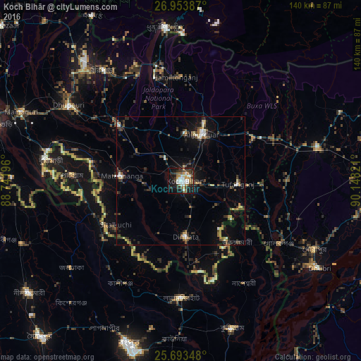
Analysis of Koch Bihār night lights 2016
Square area 10x10 km:
 8.9%
8.9%90-99
8.33%80-89
1.52%70-79
5.68%60-69
5.11%50-59
6.63%40-49
5.11%30-39
7.01%20-29
10.61%10-19
29.73%0-9
11.36%Square area 50x50 km:
0.83%90-99
0.93%80-89
0.52%70-79
0.75%60-69
0.88%50-59
1.12%40-49
1.52%30-39
1.77%20-29
2.5%10-19
5.35%0-9
83.85%Clear (daylight) street map image can be seen on geolist.org.
Map coordinates:
26° 57' 13.9" North, 88° 44' 31.1" East
26° 19' 31.4" North, 89° 26' 42.3" East
25° 41' 36.5" North, 90° 8' 53.6" East
Some cities around Koch Bihār sort by population:
• Alīpur Duār
19.2 km =11.9 mi,  23°
23°
• Lalmonirhat, BD
45.4 km =28.2 mi,  179°
179°
• Nageswari, BD
46.7 km =29 mi,  148°
148°
• Dīnhāta
21.2 km =13.2 mi, 175°
• Mātābhānga
22.9 km =14.2 mi,  274°
274°
• Tufānganj
22 km =13.7 mi,  92°
92°
• Fālākāta
32.3 km =20.1 mi,  312°
312°
• Golakganj
45.1 km =28 mi,  123°
123°
1266436 (p: 78,737)
Sources (retrieved 2019-11-25):
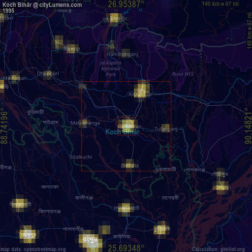
» NASA, Earths city lights 1995
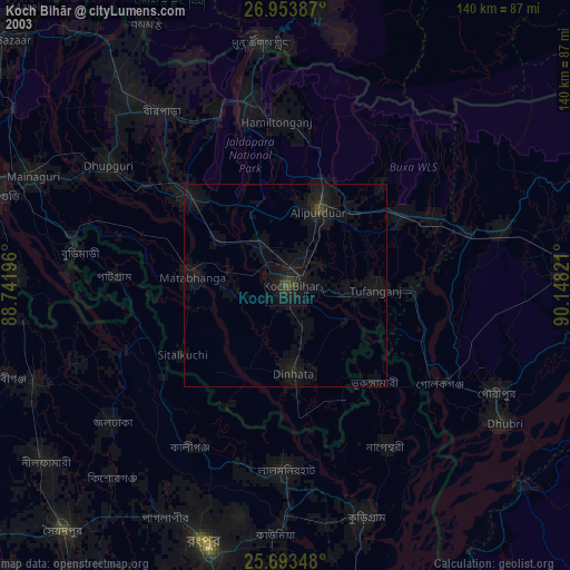
» NASA city lights 2003
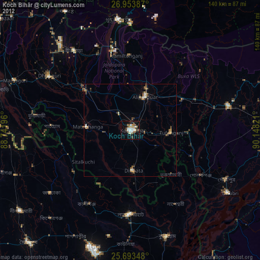
» Earth at Night: Flat Maps 2012, 2016