Jaigaon night lights from space
Night Light of Jaigaon (West Bengal) from space (India) Src. Average luminocity for 10x10km area is 18.756% and for 50x50km: 4.77%.
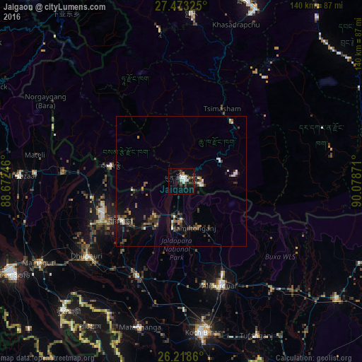
Analysis of Jaigaon night lights 2016
Square area 10x10 km:
 4.76%
4.76%90-99
3.17%80-89
0.99%70-79
0.6%60-69
0%50-59
0.6%40-49
6.15%30-39
2.58%20-29
3.37%10-19
17.06%0-9
60.71%Square area 50x50 km:
0.51%90-99
0.59%80-89
0.2%70-79
0.25%60-69
0.45%50-59
0.83%40-49
1.08%30-39
1.29%20-29
1.26%10-19
2.38%0-9
91.16%Clear (daylight) street map image can be seen on geolist.org.
Map coordinates:
27° 28' 23.7" North, 88° 40' 20.9" East
26° 50' 51.6" North, 89° 22' 32.1" East
26° 13' 7" North, 90° 4' 43.4" East
Some cities around Jaigaon sort by population:
• Goyerkāta
38.4 km =23.9 mi,  244°
244°
• Alīpur Duār
43.1 km =26.8 mi,  160°
160°
• Hāsimāra
11.4 km =7.1 mi,  190°
190°
• Birpara
27.9 km =17.3 mi, 235°
• Fālākāta
40.3 km =25 mi,  205°
205°
• Phuntsholing, BT
1.3 km =0.8 mi,  70°
70°
• Samtse, BT
28 km =17.4 mi,  281°
281°
• Tsimasham, BT
32.1 km =19.9 mi,  29°
29°
7284820 (p: 158,664)
Sources (retrieved 2019-11-25):
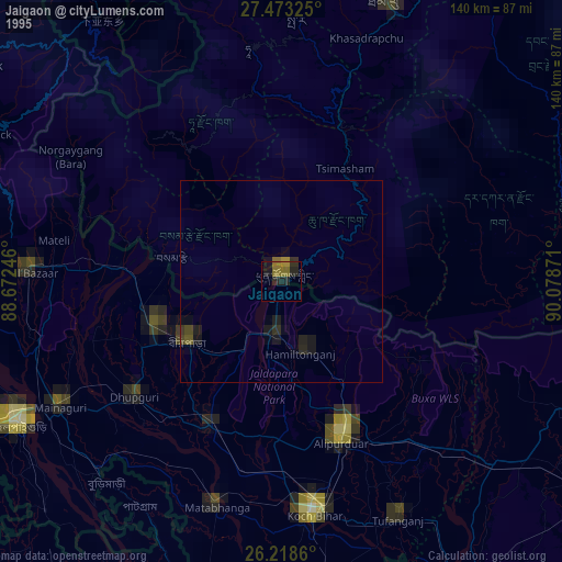
» NASA, Earths city lights 1995
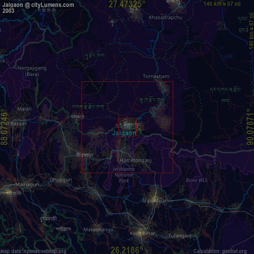
» NASA city lights 2003
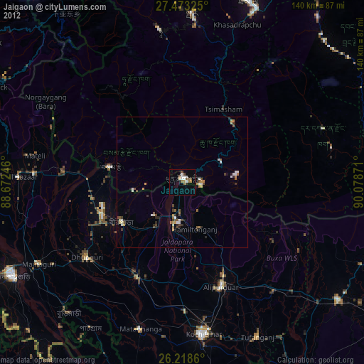
» Earth at Night: Flat Maps 2012, 2016