Mātābhānga night lights from space
Night Light of Mātābhānga (West Bengal) from space (India) Src. Average luminocity for 10x10km area is 12.0852% and for 50x50km: 8.7663%.
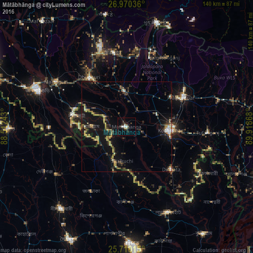
Analysis of Mātābhānga night lights 2016
Square area 10x10 km:
 2.27%
2.27%90-99
1.52%80-89
0.76%70-79
0.57%60-69
0.38%50-59
0.57%40-49
2.27%30-39
4.73%20-29
2.84%10-19
1.52%0-9
82.58%Square area 50x50 km:
0.49%90-99
0.73%80-89
0.91%70-79
1.03%60-69
1.04%50-59
1.36%40-49
1.57%30-39
1.82%20-29
2.52%10-19
10.22%0-9
78.33%Clear (daylight) street map image can be seen on geolist.org.
Map coordinates:
26° 58' 13.3" North, 88° 30' 44.7" East
26° 20' 31.1" North, 89° 12' 56" East
25° 42' 36.5" North, 89° 55' 7.2" East
Some cities around Mātābhānga sort by population:
• Koch Bihār
22.9 km =14.2 mi,  94°
94°
• Goyerkāta
44 km =27.3 mi,  334°
334°
• Alīpur Duār
34.4 km =21.4 mi,  62°
62°
• Dīnhāta
33.6 km =20.9 mi,  133°
133°
• Dhupgāri
34.4 km =21.4 mi,  322°
322°
• Birpara
40.9 km =25.4 mi,  350°
350°
• Fālākāta
19.8 km =12.3 mi,  356°
356°
• Haldībāri
43.2 km =26.8 mi,  269°
269°
1263395 (p: 22,642)
Sources (retrieved 2019-11-25):
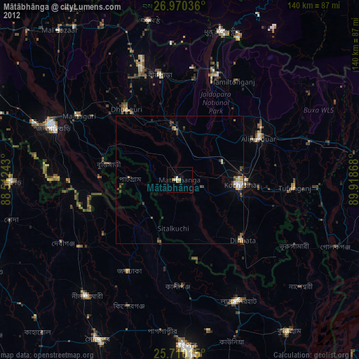
» Earth at Night: Flat Maps 2012, 2016