Ponmana night lights from space
Night Light of Ponmana (Kerala) from space (India) Src. Average luminocity for 10x10km area is 9.9502% and for 50x50km: 5.2961%.
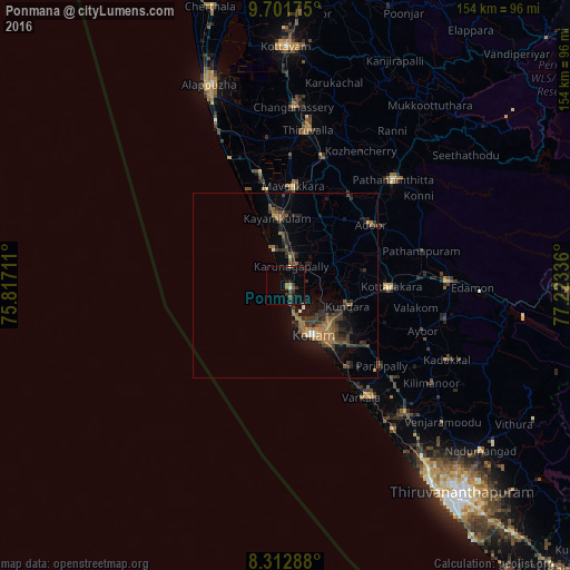
Analysis of Ponmana night lights 2016
Square area 10x10 km:
 0%
0%90-99
0.87%80-89
0.87%70-79
0.43%60-69
1.73%50-59
0.87%40-49
3.68%30-39
2.6%20-29
2.6%10-19
2.6%0-9
83.77%Square area 50x50 km:
0.09%90-99
0.23%80-89
0.2%70-79
0.47%60-69
1.4%50-59
1.07%40-49
1.21%30-39
1.88%20-29
1.75%10-19
3.64%0-9
88.05%Clear (daylight) street map image can be seen on geolist.org.
Map coordinates:
9° 42' 6.3" North, 75° 49' 1.6" East
9° 0' 28.7" North, 76° 31' 12.8" East
8° 18' 46.4" North, 77° 13' 24.1" East
Some cities around Ponmana sort by population:
• Kollam
15.8 km =9.8 mi,  153°
153°
• Kāyankulam
19.4 km =12.1 mi,  353°
353°
• Varkala
37.4 km =23.2 mi,  144°
144°
• Paravūr Tekkumbhāgam
28.7 km =17.8 mi, 145°
• Adūr
28.5 km =17.7 mi,  54°
54°
• Māvelikara
28.2 km =17.5 mi,  8°
8°
• Chengannūr
35.8 km =22.2 mi,  16°
16°
• Kattanam
19.3 km =12 mi, 14°
1260456 (p: 29,139)
Sources (retrieved 2019-11-25):
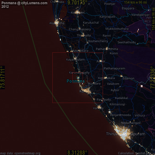
» Earth at Night: Flat Maps 2012, 2016