Yavné night lights from space
Night Light of Yavné (Central District) from space (Israel) Src. Average luminocity for 10x10km area is 85.6447% and for 50x50km: 51.804%.
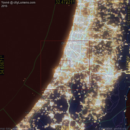
Analysis of Yavné night lights 2016
Square area 10x10 km:
 17.22%
90-99
22.34%80-89
34.8%70-79
15.57%60-69
8.06%50-59
2.01%40-49
0%30-39
0%20-29
0%10-19
0%0-9
0%Square area 50x50 km:
15.19%90-99
12.81%80-89
9.76%70-79
6.28%60-69
4.29%50-59
5.16%40-49
5.1%30-39
3.7%20-29
4.55%10-19
5.86%0-9
27.3%Clear (daylight) street map image can be seen on geolist.org.
Map coordinates:
32° 28' 23.6" North, 34° 2' 12.2" East
31° 52' 41.1" North, 34° 44' 23.4" East
31° 16' 44.7" North, 35° 26' 34.7" East
Some cities around Yavné sort by population:
• Ashdod
12.8 km =8 mi,  221°
221°
• Rishon LeẔiyyon
11.3 km =7 mi,  24°
24°
• Reẖovot
7 km =4.3 mi,  75°
75°
• Ness Ziona
8 km =5 mi,  44°
44°
• Gedera
8 km =5 mi,  151°
151°
• Gan Yavne
10.6 km =6.6 mi,  197°
197°
• Mazkeret Batya
10.4 km =6.5 mi,  105°
105°
• Bnei Ayish
10.6 km =6.6 mi,  174°
174°
293222 (p: 31,774)
Sources (retrieved 2019-11-25):
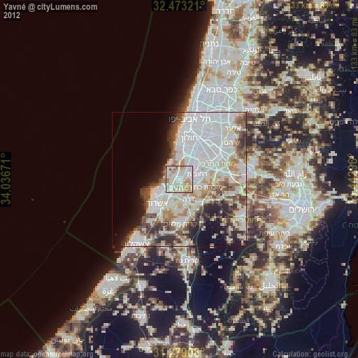
» Earth at Night: Flat Maps 2012, 2016