Ness Ziona night lights from space
Night Light of Ness Ziona (Central District) from space (Israel) Src. Average luminocity for 10x10km area is 96.1136% and for 50x50km: 58.7823%.
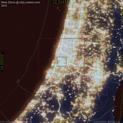
Analysis of Ness Ziona night lights 2016
Square area 10x10 km:
 48.95%
90-99
33.57%80-89
13.64%70-79
3.5%60-69
0.35%50-59
0%40-49
0%30-39
0%20-29
0%10-19
0%0-9
0%Square area 50x50 km:
17.51%90-99
15.11%80-89
10.74%70-79
7.12%60-69
4.64%50-59
6.62%40-49
6.08%30-39
3.94%20-29
3.52%10-19
3.89%0-9
20.83%Clear (daylight) street map image can be seen on geolist.org.
Map coordinates:
32° 31' 26.9" North, 34° 5' 44" East
31° 55' 45.6" North, 34° 47' 55.2" East
31° 19' 50.4" North, 35° 30' 6.5" East
Some cities around Ness Ziona sort by population:
• Rishon LeẔiyyon
4.7 km =2.9 mi,  349°
349°
• H̱olon
9.2 km =5.7 mi, 348°
• Reẖovot
4.1 km =2.5 mi,  162°
162°
• Lod
8.9 km =5.5 mi,  77°
77°
• Ramla
6.3 km =3.9 mi,  90°
90°
• Yavné
8 km =5 mi,  224°
224°
• Mazkeret Batya
9.6 km =6 mi,  151°
151°
• Bet Dagan
8.6 km =5.3 mi,  19°
19°
294074 (p: 38,700)
Sources (retrieved 2019-11-25):
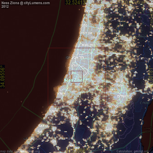
» Earth at Night: Flat Maps 2012, 2016