Gedera night lights from space
Night Light of Gedera (Central District) from space (Israel) Src. Average luminocity for 10x10km area is 85.304% and for 50x50km: 54.7782%.
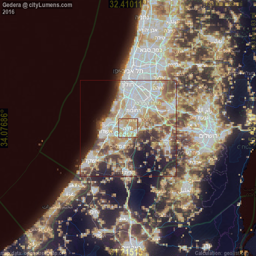
Analysis of Gedera night lights 2016
Square area 10x10 km:
 15.2%
15.2%90-99
20.7%80-89
37.36%70-79
19.23%60-69
6.59%50-59
0.73%40-49
0.18%30-39
0%20-29
0%10-19
0%0-9
0%Square area 50x50 km:
12.51%90-99
12.4%80-89
11.1%70-79
7.63%60-69
4.9%50-59
6.72%40-49
7.57%30-39
5.33%20-29
7.51%10-19
7.93%0-9
16.39%Clear (daylight) street map image can be seen on geolist.org.
Map coordinates:
32° 24' 36.4" North, 34° 4' 36.7" East
31° 48' 52.4" North, 34° 46' 47.9" East
31° 12' 54.5" North, 35° 28' 59.2" East
Some cities around Gedera sort by population:
• Ashdod
12.6 km =7.8 mi,  258°
258°
• Reẖovot
9.4 km =5.8 mi,  18°
18°
• Ramla
15.1 km =9.4 mi,  32°
32°
• Ness Ziona
12.9 km =8 mi,  7°
7°
• Yavné
8 km =5 mi,  331°
331°
• Gan Yavne
7.6 km =4.7 mi,  246°
246°
• Mazkeret Batya
7.6 km =4.7 mi,  55°
55°
• Bnei Ayish
4.5 km =2.8 mi,  219°
219°
295064 (p: 26,217)
Sources (retrieved 2019-11-25):
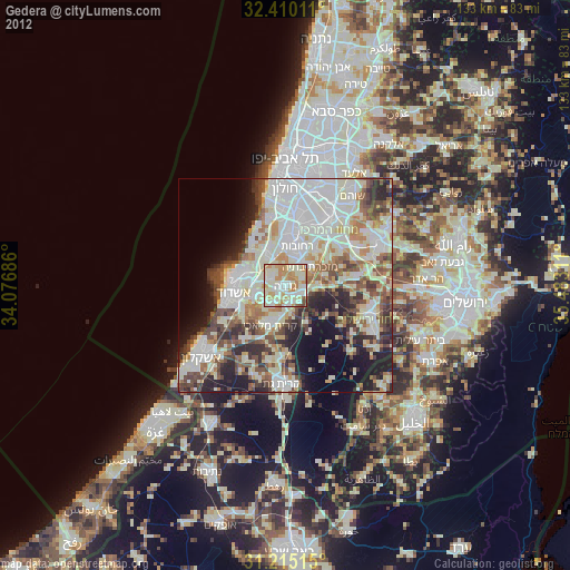
» Earth at Night: Flat Maps 2012, 2016