Mazkeret Batya night lights from space
Night Light of Mazkeret Batya (Central District) from space (Israel) Src. Average luminocity for 10x10km area is 82.6282% and for 50x50km: 61.085%.
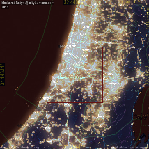
Analysis of Mazkeret Batya night lights 2016
Square area 10x10 km:
 15.93%
90-99
19.78%80-89
24.91%70-79
19.41%60-69
13.74%50-59
5.86%40-49
0.37%30-39
0%20-29
0%10-19
0%0-9
0%Square area 50x50 km:
14.45%90-99
13.22%80-89
11.83%70-79
8.75%60-69
5.7%50-59
8.34%40-49
9.37%30-39
6.97%20-29
6.35%10-19
5.81%0-9
9.22%Clear (daylight) street map image can be seen on geolist.org.
Map coordinates:
32° 26' 55.9" North, 34° 8' 36" East
31° 51' 12.9" North, 34° 50' 47.3" East
31° 15' 15.9" North, 35° 32' 58.5" East
Some cities around Mazkeret Batya sort by population:
• Rishon LeẔiyyon
14.1 km =8.8 mi,  337°
337°
• Reẖovot
5.6 km =3.5 mi,  324°
324°
• Lod
11.2 km =7 mi,  21°
21°
• Ramla
8.6 km =5.3 mi,  12°
12°
• Ness Ziona
9.6 km =6 mi,  331°
331°
• Yavné
10.4 km =6.5 mi,  285°
285°
• Gedera
7.6 km =4.7 mi,  235°
235°
• Bnei Ayish
12 km =7.5 mi,  229°
229°
294303 (p: 8,034)
Sources (retrieved 2019-11-25):
» Earth at Night: Flat Maps 2012, 2016