Rishon LeẔiyyon night lights from space
Night Light of Rishon LeẔiyyon (Central District) from space (Israel) Src. Average luminocity for 10x10km area is 97.6154% and for 50x50km: 57.2124%.
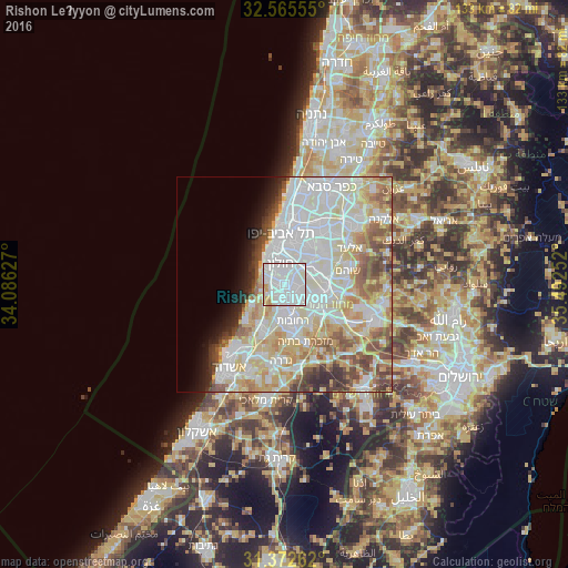
Analysis of Rishon LeẔiyyon night lights 2016
Square area 10x10 km:
 58.57%
90-99
32.52%80-89
6.82%70-79
1.92%60-69
0.17%50-59
0%40-49
0%30-39
0%20-29
0%10-19
0%0-9
0%Square area 50x50 km:
18.48%90-99
15.83%80-89
10.29%70-79
6.26%60-69
4.14%50-59
5.56%40-49
4.56%30-39
2.85%20-29
2.67%10-19
3.4%0-9
25.95%Clear (daylight) street map image can be seen on geolist.org.
Map coordinates:
32° 33' 56" North, 34° 5' 10.6" East
31° 58' 15.7" North, 34° 47' 21.8" East
31° 22' 21.4" North, 35° 29' 33.1" East
Some cities around Rishon LeẔiyyon sort by population:
• H̱olon
4.5 km =2.8 mi,  347°
347°
• Reẖovot
8.8 km =5.5 mi,  165°
165°
• Bat Yam
6.9 km =4.3 mi,  328°
328°
• Ramla
8.6 km =5.3 mi,  122°
122°
• Ness Ziona
4.7 km =2.9 mi, 169°
• Or Yehuda
9.1 km =5.7 mi,  44°
44°
• Azor
6.1 km =3.8 mi,  15°
15°
• Bet Dagan
5.1 km =3.2 mi,  47°
47°
293703 (p: 220,492)
Sources (retrieved 2019-11-25):
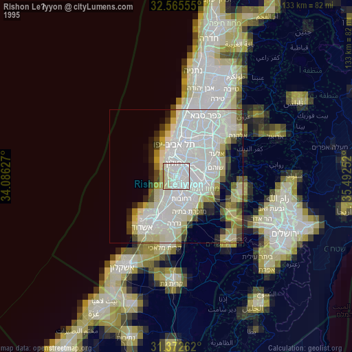
» NASA, Earths city lights 1995
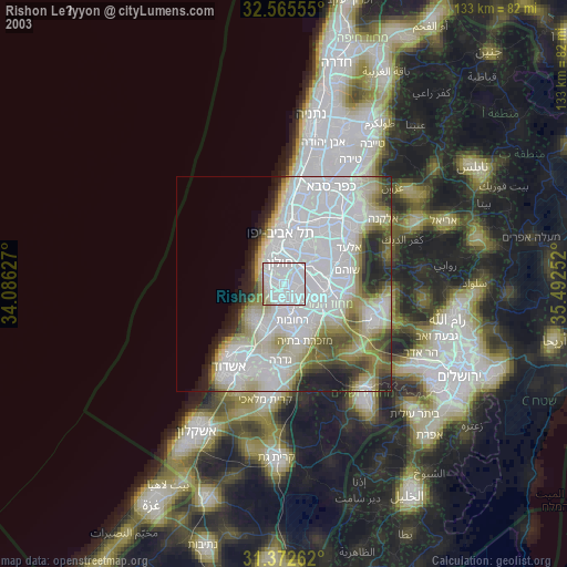
» NASA city lights 2003
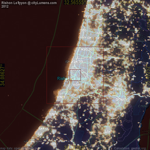
» Earth at Night: Flat Maps 2012, 2016