Reẖovot night lights from space
Night Light of Reẖovot (Central District) from space (Israel) Src. Average luminocity for 10x10km area is 92.7179% and for 50x50km: 59.7575%.
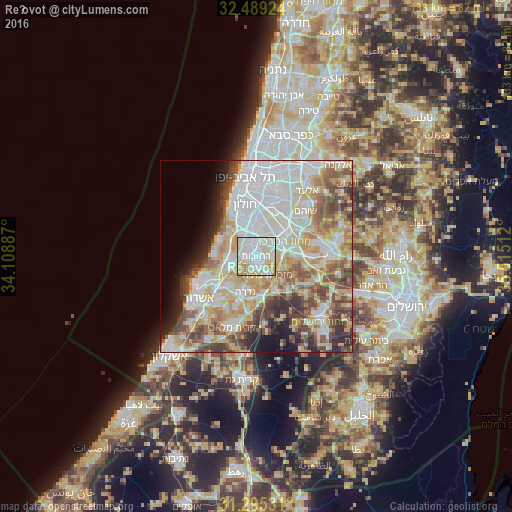
Analysis of Reẖovot night lights 2016
Square area 10x10 km:
 32.23%
90-99
35.16%80-89
22.34%70-79
8.06%60-69
2.2%50-59
0%40-49
0%30-39
0%20-29
0%10-19
0%0-9
0%Square area 50x50 km:
16.54%90-99
14.14%80-89
11.07%70-79
7.69%60-69
5.14%50-59
7.34%40-49
7.41%30-39
5.13%20-29
4.85%10-19
4.92%0-9
15.78%Clear (daylight) street map image can be seen on geolist.org.
Map coordinates:
32° 29' 21.3" North, 34° 6' 31.9" East
31° 53' 39.2" North, 34° 48' 43.2" East
31° 17' 43.1" North, 35° 30' 54.4" East
Some cities around Reẖovot sort by population:
• Rishon LeẔiyyon
8.8 km =5.5 mi,  345°
345°
• Lod
9.4 km =5.8 mi,  51°
51°
• Ramla
6.4 km =4 mi, 52°
• Ness Ziona
4.1 km =2.5 mi,  342°
342°
• Yavné
7 km =4.3 mi,  255°
255°
• Gedera
9.4 km =5.8 mi,  198°
198°
• Mazkeret Batya
5.6 km =3.5 mi,  144°
144°
• Bet Dagan
12.1 km =7.5 mi,  7°
7°
293725 (p: 132,671)
Sources (retrieved 2019-11-25):
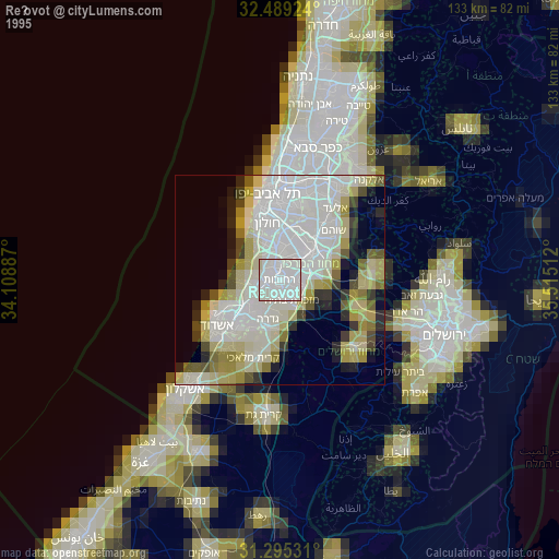
» NASA, Earths city lights 1995
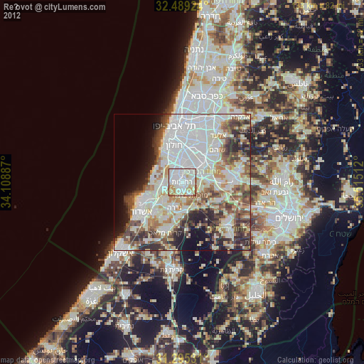
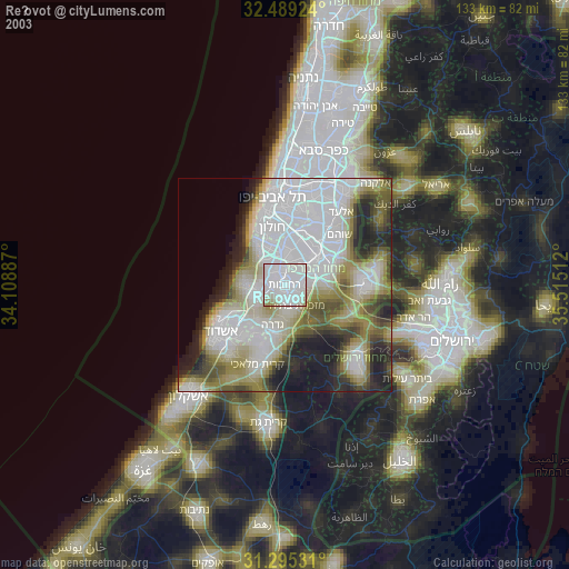
» NASA city lights 2003
» Earth at Night: Flat Maps 2012, 2016