Lod night lights from space
Night Light of Lod (Central District) from space (Israel) Src. Average luminocity for 10x10km area is 96.2937% and for 50x50km: 68.3922%.
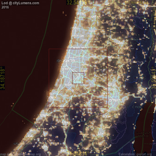
Analysis of Lod night lights 2016
Square area 10x10 km:
 40.73%
90-99
43.18%80-89
14.69%70-79
1.4%60-69
0%50-59
0%40-49
0%30-39
0%20-29
0%10-19
0%0-9
0%Square area 50x50 km:
18.95%90-99
16.81%80-89
12.77%70-79
9.32%60-69
5.98%50-59
8.74%40-49
8.15%30-39
5.45%20-29
3.47%10-19
2.37%0-9
7.97%Clear (daylight) street map image can be seen on geolist.org.
Map coordinates:
32° 32' 29" North, 34° 11' 13.8" East
31° 56' 48.1" North, 34° 53' 25.1" East
31° 20' 53.3" North, 35° 35' 36.3" East
Some cities around Lod sort by population:
• Reẖovot
9.4 km =5.8 mi,  231°
231°
• Ramla
3 km =1.9 mi, 230°
• Ness Ziona
8.9 km =5.5 mi,  257°
257°
• Or Yehuda
9.7 km =6 mi,  341°
341°
• Yehud-Monosson
9.1 km =5.7 mi,  353°
353°
• Yehud
9.6 km =6 mi,  0°
0°
• Shoham
7.8 km =4.8 mi,  42°
42°
• Bet Dagan
8.4 km =5.2 mi,  317°
317°
294421 (p: 66,589)
Sources (retrieved 2019-11-25):
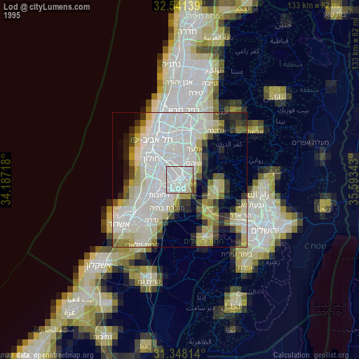
» NASA, Earths city lights 1995
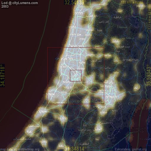
» NASA city lights 2003
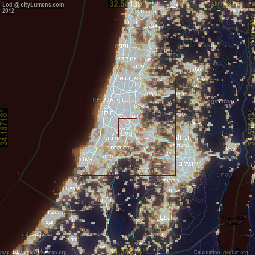
» Earth at Night: Flat Maps 2012, 2016