Nesher night lights from space
Night Light of Nesher (Haifa) from space (Israel) Src. Average luminocity for 10x10km area is 84.0402% and for 50x50km: 45.2339%.
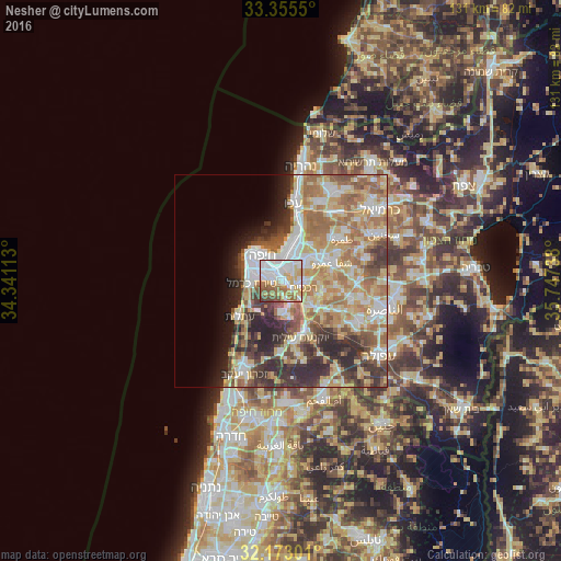
Analysis of Nesher night lights 2016
Square area 10x10 km:
 35.31%
90-99
17.48%80-89
12.94%70-79
7.52%60-69
12.59%50-59
8.22%40-49
5.24%30-39
0.7%20-29
0%10-19
0%0-9
0%Square area 50x50 km:
8.4%90-99
7.96%80-89
9.43%70-79
6.84%60-69
8.78%50-59
6%40-49
5.11%30-39
6.43%20-29
7.73%10-19
4.04%0-9
29.28%Clear (daylight) street map image can be seen on geolist.org.
Map coordinates:
33° 21' 19.8" North, 34° 20' 28.1" East
32° 45' 58.4" North, 35° 2' 39.3" East
32° 10' 22.8" North, 35° 44' 50.6" East
Some cities around Nesher sort by population:
• Haifa
7.8 km =4.8 mi,  318°
318°
• Qiryat Ata
8.2 km =5.1 mi,  52°
52°
• Qiryat Moẕqin
8.5 km =5.3 mi,  21°
21°
• Qiryat Yam
9.6 km =6 mi,  14°
14°
• Qiryat Bialik
7.8 km =4.8 mi,  29°
29°
• Daliyat al Karmel
8.1 km =5 mi,  178°
178°
• Tirat Karmel
6.8 km =4.2 mi,  264°
264°
• Rekhasim
5.5 km =3.4 mi,  110°
110°
294078 (p: 21,245)
Sources (retrieved 2019-11-25):
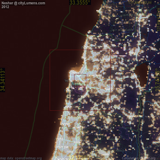
» Earth at Night: Flat Maps 2012, 2016