Daliyat al Karmel night lights from space
Night Light of Daliyat al Karmel (Haifa) from space (Israel) Src. Average luminocity for 10x10km area is 52.4948% and for 50x50km: 48.7155%.
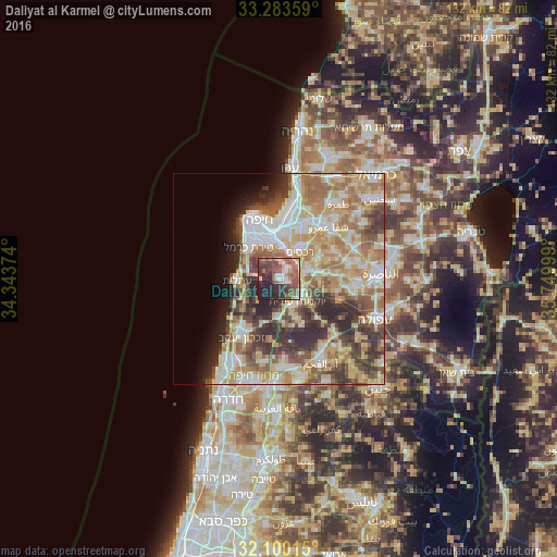
Analysis of Daliyat al Karmel night lights 2016
Square area 10x10 km:
 5.07%
5.07%90-99
6.12%80-89
7.87%70-79
6.12%60-69
10.49%50-59
14.86%40-49
13.46%30-39
11.01%20-29
21.15%10-19
3.85%0-9
0%Square area 50x50 km:
8.69%90-99
8.93%80-89
9.99%70-79
7.94%60-69
8.38%50-59
6.36%40-49
6.44%30-39
7.69%20-29
7.79%10-19
4%0-9
23.8%Clear (daylight) street map image can be seen on geolist.org.
Map coordinates:
33° 17' 0.9" North, 34° 20' 37.5" East
32° 41' 37.8" North, 35° 2' 48.7" East
32° 6' 0.5" North, 35° 44' 60" East
Some cities around Daliyat al Karmel sort by population:
• Haifa
14.9 km =9.3 mi,  338°
338°
• Qiryat Ata
14.5 km =9 mi,  25°
25°
• Nesher
8.1 km =5 mi,  358°
358°
• Tirat Karmel
10.2 km =6.3 mi,  316°
316°
• Rekhasim
7.8 km =4.8 mi,  38°
38°
• El Fureidīs
13.9 km =8.6 mi,  219°
219°
• Basmat Ṭab‘ūn
11.5 km =7.1 mi,  64°
64°
• Ramat Yishay
11.6 km =7.2 mi,  84°
84°
295365 (p: 25,000)
Sources (retrieved 2019-11-25):
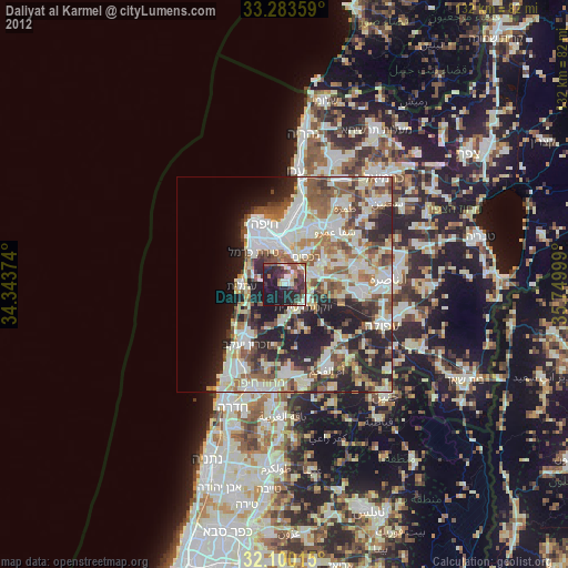
» Earth at Night: Flat Maps 2012, 2016