Haifa night lights from space
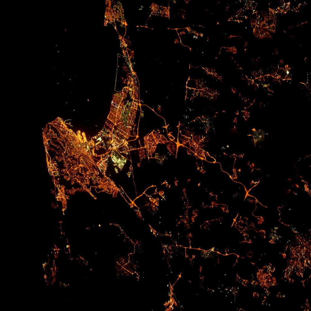
Night Light of Haifa from space (Israel) Src. Average luminocity for 10x10km area is 69.5297% and for 50x50km: 35.8989%.
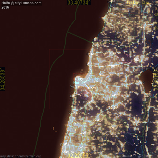
Analysis of Haifa night lights 2016
Square area 10x10 km:
 38.81%
90-99
12.24%80-89
1.75%70-79
0.7%60-69
4.02%50-59
8.04%40-49
8.04%30-39
7.52%20-29
9.09%10-19
8.57%0-9
1.22%Square area 50x50 km:
7.06%90-99
6.36%80-89
7.23%70-79
5.53%60-69
6.94%50-59
4.79%40-49
4.05%30-39
3.88%20-29
5.95%10-19
4.04%0-9
44.16%Clear (daylight) street map image can be seen on geolist.org.
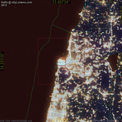
Map coordinates:
33° 24' 26.4" North, 34° 17' 7.4" East
32° 49' 6.3" North, 34° 59' 18.6" East
32° 13' 32" North, 35° 41' 29.9" East
Fantastic image of Haifa from space taken by astronauts [src2], but I don't have information about it's orientation, scale or angle. If necessary, it was rotated manually, so North points approximately to upper direction. Click to zoom in:
Some cities around Haifa sort by population:
• Qiryat Ata
11.7 km =7.3 mi,  93°
93°
• Acre
14.7 km =9.1 mi,  33°
33°
• Qiryat Moẕqin
8.6 km =5.3 mi,  76°
76°
• Qiryat Yam
8.3 km =5.2 mi,  65°
65°
• Qiryat Bialik
9.2 km =5.7 mi, 83°
• Nesher
7.8 km =4.8 mi,  138°
138°
• Tirat Karmel
6.7 km =4.2 mi,  193°
193°
• Rekhasim
12.9 km =8 mi,  126°
126°
294801 (p: 267,300)
Sources (retrieved 2019-11-25):
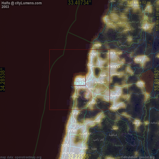
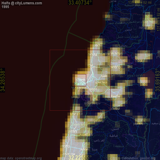
» NASA, Earths city lights 1995
» NASA city lights 2003
» Earth at Night: Flat Maps 2012, 2016
Src.2: Tim Kopra, Twitter/@astro_tim, 2016-06-11