Qiryat Bialik night lights from space
Night Light of Qiryat Bialik (Haifa) from space (Israel) Src. Average luminocity for 10x10km area is 87.8059% and for 50x50km: 48.8668%.
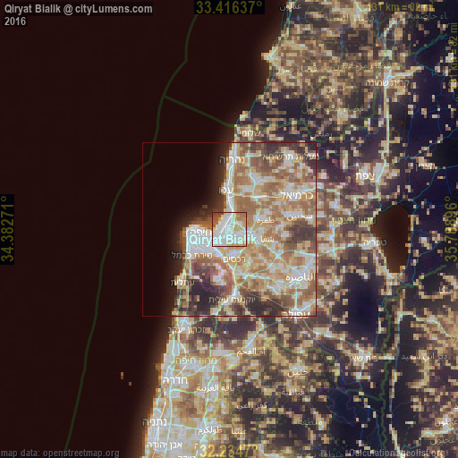
Analysis of Qiryat Bialik night lights 2016
Square area 10x10 km:
 34.97%
90-99
27.45%80-89
13.46%70-79
7.17%60-69
7.17%50-59
5.07%40-49
2.62%30-39
1.75%20-29
0.35%10-19
0%0-9
0%Square area 50x50 km:
9.42%90-99
9.01%80-89
10.01%70-79
7.45%60-69
9.41%50-59
7.48%40-49
5.43%30-39
5.35%20-29
6.29%10-19
4.15%0-9
26.01%Clear (daylight) street map image can be seen on geolist.org.
Map coordinates:
33° 24' 58.9" North, 34° 22' 57.8" East
32° 49' 39" North, 35° 5' 9" East
32° 14' 4.9" North, 35° 47' 20.3" East
Some cities around Qiryat Bialik sort by population:
• Haifa
9.2 km =5.7 mi,  263°
263°
• Acre
11.2 km =7 mi,  355°
355°
• Tamra
10.9 km =6.8 mi,  74°
74°
• Nesher
7.8 km =4.8 mi,  209°
209°
• Judeida Makr
13 km =8.1 mi,  30°
30°
• Rekhasim
8.8 km =5.5 mi,  171°
171°
• Kābūl
12.6 km =7.8 mi, 68°
• Basmat Ṭab‘ūn
11.9 km =7.4 mi,  145°
145°
293844 (p: 36,551)
Sources (retrieved 2019-11-25):
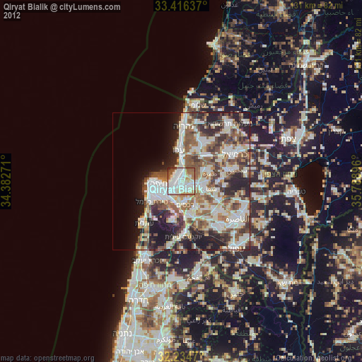
» Earth at Night: Flat Maps 2012, 2016