Qiryat Moẕqin night lights from space
Night Light of Qiryat Moẕqin (Haifa) from space (Israel) Src. Average luminocity for 10x10km area is 84.514% and for 50x50km: 47.3944%.
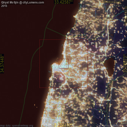
Analysis of Qiryat Moẕqin night lights 2016
Square area 10x10 km:
 35.84%
90-99
25.17%80-89
11.36%70-79
3.15%60-69
7.17%50-59
6.82%40-49
3.32%30-39
5.07%20-29
2.1%10-19
0%0-9
0%Square area 50x50 km:
9.21%90-99
8.75%80-89
9.66%70-79
7.23%60-69
9.24%50-59
7%40-49
5.17%30-39
5.08%20-29
6.34%10-19
4.14%0-9
28.18%Clear (daylight) street map image can be seen on geolist.org.
Map coordinates:
33° 25' 33.1" North, 34° 22' 28.1" East
32° 50' 13.4" North, 35° 4' 39.4" East
32° 14' 39.6" North, 35° 46' 50.6" East
Some cities around Qiryat Moẕqin sort by population:
• Haifa
8.6 km =5.3 mi,  256°
256°
• Acre
10.1 km =6.3 mi,  359°
359°
• Tamra
11.5 km =7.1 mi,  81°
81°
• Nesher
8.5 km =5.3 mi,  201°
201°
• Tirat Karmel
13.1 km =8.1 mi,  229°
229°
• Judeida Makr
12.6 km =7.8 mi,  36°
36°
• Rekhasim
10 km =6.2 mi,  168°
168°
• Kābūl
13 km =8.1 mi,  74°
74°
293831 (p: 39,404)
Sources (retrieved 2019-11-25):
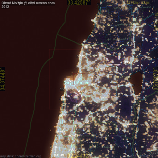
» Earth at Night: Flat Maps 2012, 2016