Karmi’el night lights from space
Night Light of Karmi’el (Northern District) from space (Israel) Src. Average luminocity for 10x10km area is 76.8736% and for 50x50km: 57.2643%.
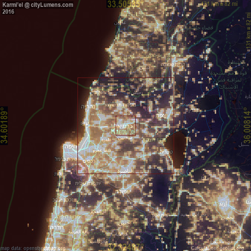
Analysis of Karmi’el night lights 2016
Square area 10x10 km:
 12.27%
90-99
13.92%80-89
18.68%70-79
16.12%60-69
22.34%50-59
15.57%40-49
0.92%30-39
0.18%20-29
0%10-19
0%0-9
0%Square area 50x50 km:
7.99%90-99
9.02%80-89
13.37%70-79
8.84%60-69
9.83%50-59
8.4%40-49
9.63%30-39
9.44%20-29
11.13%10-19
10.05%0-9
2.29%Clear (daylight) street map image can be seen on geolist.org.
Map coordinates:
33° 30' 19.3" North, 34° 36' 6.8" East
32° 55' 1.5" North, 35° 18' 18" East
32° 19' 29.5" North, 36° 0' 29.3" East
Some cities around Karmi’el sort by population:
• Sakhnīn
5.9 km =3.7 mi,  187°
187°
• Maghār
10 km =6.2 mi,  107°
107°
• Naḥf
2.2 km =1.4 mi,  29°
29°
• Beit Jann
8.9 km =5.5 mi,  53°
53°
• Kābūl
10.2 km =6.3 mi,  238°
238°
• Deir Ḥannā
8.2 km =5.1 mi,  138°
138°
• Kefar Weradim
8.9 km =5.5 mi,  343°
343°
• Buqei‘a
7.2 km =4.5 mi,  21°
21°
294577 (p: 44,382)
Sources (retrieved 2019-11-25):
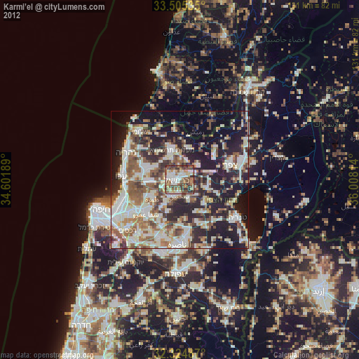
» Earth at Night: Flat Maps 2012, 2016