Tuam night lights from space
Night Light of Tuam (Connaught) from space (Ireland) Src. Average luminocity for 10x10km area is 3.5794% and for 50x50km: 1.1534%.
Analysis of Tuam night lights 2016
Square area 10x10 km:
 0.4%
0.4%90-99
0.13%80-89
0.53%70-79
0%60-69
1.06%50-59
0.53%40-49
0.93%30-39
0.93%20-29
1.32%10-19
0.79%0-9
93.39%Square area 50x50 km:
0.1%90-99
0.12%80-89
0.1%70-79
0.17%60-69
0.21%50-59
0.07%40-49
0.15%30-39
0.19%20-29
0.38%10-19
1.3%0-9
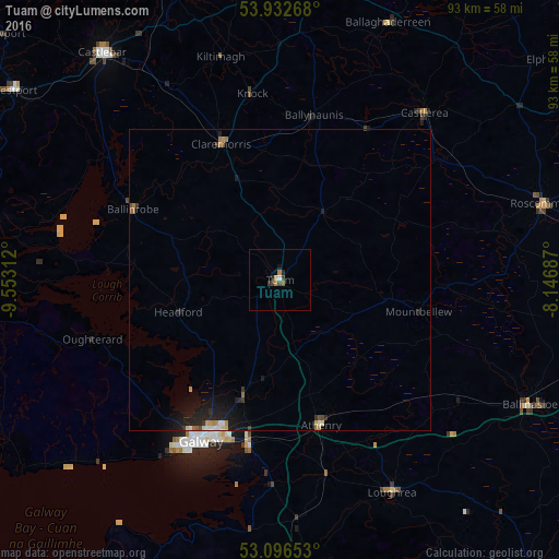
97.22%Clear (daylight) street map image can be seen on geolist.org.
Map coordinates:
53° 55' 57.6" North, 9° 33' 11.2" West
53° 31' 0" North, 8° 51' 0" West
53° 5' 47.5" North, 8° 8' 48.7" West
Some cities around Tuam sort by population:
• Gaillimh
30.2 km =18.8 mi,  205°
205°
• Athlone
61.3 km =38.1 mi,  99°
99°
• Castlebar
47.5 km =29.5 mi,  321°
321°
• Ballina
69.9 km =43.4 mi,  342°
342°
• Ballinasloe
46.8 km =29.1 mi,  116°
116°
• Westport
54.1 km =33.6 mi,  305°
305°
• Roscommon
45.9 km =28.5 mi,  73°
73°
• Loughrea
40.2 km =25 mi,  152°
152°
2961099 (p: 6,130)
Sources (retrieved 2019-11-25):
» Earth at Night: Flat Maps 2012, 2016