Gaillimh night lights from space
Night Light of Gaillimh (Connaught) from space (Ireland) Src. Average luminocity for 10x10km area is 41.0543% and for 50x50km: 2.6178%.
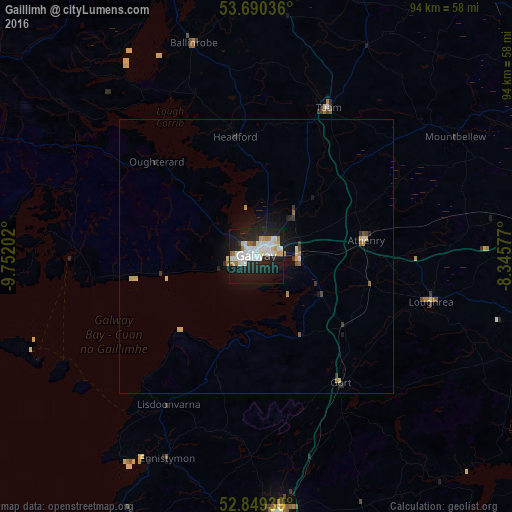
Analysis of Gaillimh night lights 2016
Square area 10x10 km:
 10.98%
90-99
12.25%80-89
3.16%70-79
3.28%60-69
3.03%50-59
1.64%40-49
0.51%30-39
1.01%20-29
13.51%10-19
41.16%0-9
9.47%Square area 50x50 km:
0.46%90-99
0.55%80-89
0.33%70-79
0.22%60-69
0.27%50-59
0.14%40-49
0.1%30-39
0.24%20-29
0.72%10-19
2.63%0-9
94.34%Clear (daylight) street map image can be seen on geolist.org.
Map coordinates:
53° 41' 25.3" North, 9° 45' 7.3" West
53° 16' 19" North, 9° 2' 56" West
52° 50' 57.8" North, 8° 20' 44.8" West
Some cities around Gaillimh sort by population:
• Ennis
47.8 km =29.7 mi,  174°
174°
• Castlebar
66.4 km =41.3 mi,  345°
345°
• Shannon
64.4 km =40 mi, 168°
• Ballinasloe
55.5 km =34.5 mi,  83°
83°
• Westport
66.4 km =41.3 mi,  332°
332°
• Tuam
30.2 km =18.8 mi,  25°
25°
• Roscommon
70 km =43.5 mi,  54°
54°
• Loughrea
33.1 km =20.6 mi,  104°
104°
2964180 (p: 70,686)
Sources (retrieved 2019-11-25):
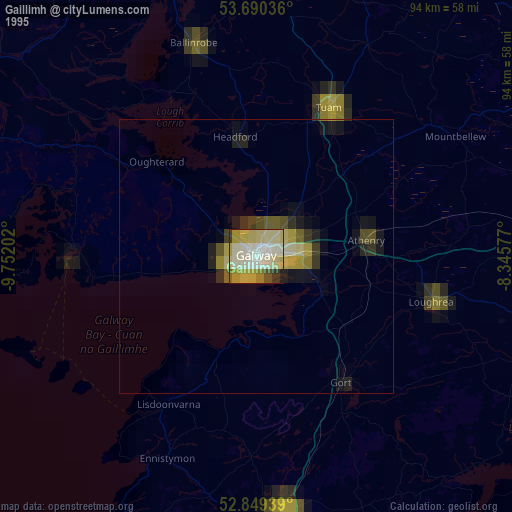
» NASA, Earths city lights 1995
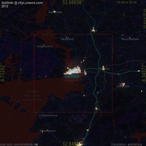
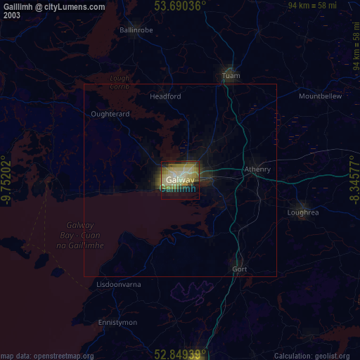
» NASA city lights 2003
» Earth at Night: Flat Maps 2012, 2016