Nenagh Bridge night lights from space
Night Light of Nenagh Bridge (Munster) from space (Ireland) Src. Average luminocity for 10x10km area is 6.0518% and for 50x50km: 1.2373%.
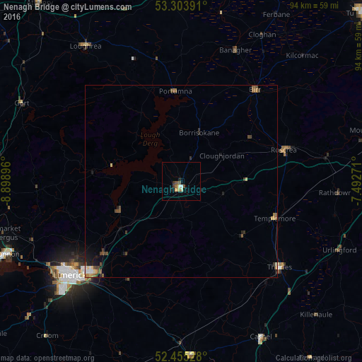
Analysis of Nenagh Bridge night lights 2016
Square area 10x10 km:
 0.51%
0.51%90-99
1.01%80-89
0.51%70-79
1.01%60-69
0.63%50-59
1.52%40-49
0.88%30-39
1.01%20-29
0.63%10-19
0.38%0-9
91.92%Square area 50x50 km:
0.09%90-99
0.11%80-89
0.15%70-79
0.15%60-69
0.14%50-59
0.33%40-49
0.33%30-39
0.25%20-29
0.21%10-19
0.55%0-9
97.69%Clear (daylight) street map image can be seen on geolist.org.
Map coordinates:
53° 18' 14.1" North, 8° 53' 56.3" West
52° 52' 54" North, 8° 11' 45" West
52° 27' 19" North, 7° 29' 33.8" West
Some cities around Nenagh Bridge sort by population:
• Luimneach
37.5 km =23.3 mi,  229°
229°
• Ennis
53.2 km =33.1 mi,  265°
265°
• Portlaoise
62.4 km =38.8 mi,  74°
74°
• Shannon
49.1 km =30.5 mi,  246°
246°
• Thurles
34.6 km =21.5 mi,  129°
129°
• Ballinasloe
49.6 km =30.8 mi,  358°
358°
• Roscrea
27.5 km =17.1 mi, 73°
• Loughrea
42.9 km =26.7 mi,  324°
324°
3306439 (p: 6,672)
Sources (retrieved 2019-11-25):
» Earth at Night: Flat Maps 2012, 2016