Cork night lights from space
Night Light of Cork (Munster) from space (Ireland) Src. Average luminocity for 10x10km area is 66.774% and for 50x50km: 7.5566%.
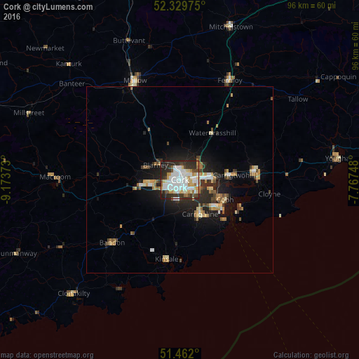
Analysis of Cork night lights 2016
Square area 10x10 km:
 21.34%
90-99
19.7%80-89
7.95%70-79
6.44%60-69
3.16%50-59
3.03%40-49
5.93%30-39
10.61%20-29
17.17%10-19
4.67%0-9
0%Square area 50x50 km:
1.17%90-99
1.25%80-89
0.97%70-79
0.92%60-69
0.96%50-59
0.72%40-49
0.76%30-39
1.13%20-29
2.56%10-19
4.74%0-9
84.82%Clear (daylight) street map image can be seen on geolist.org.
Map coordinates:
52° 19' 47.1" North, 9° 10' 25.4" West
51° 53' 52.7" North, 8° 28' 14.2" West
51° 27' 43.2" North, 7° 46' 2.9" West
Some cities around Cork sort by population:
• Carrigaline
10.8 km =6.7 mi,  152°
152°
• Cobh
13.2 km =8.2 mi,  113°
113°
• Derry
52.8 km =32.8 mi,  229°
229°
• Mallow
28.4 km =17.6 mi,  336°
336°
• Midleton
20 km =12.4 mi,  84°
84°
• Dungarvan
61.6 km =38.3 mi,  69°
69°
• Youghal
42.9 km =26.7 mi, 82°
• Bandon
25.1 km =15.6 mi, 228°
2965140 (p: 190,384)
Sources (retrieved 2019-11-25):
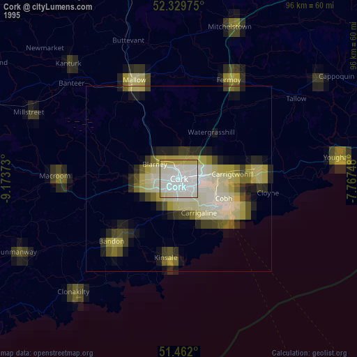
» NASA, Earths city lights 1995
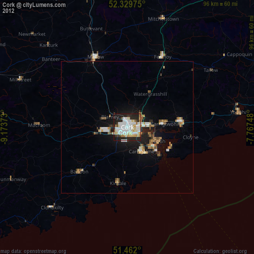
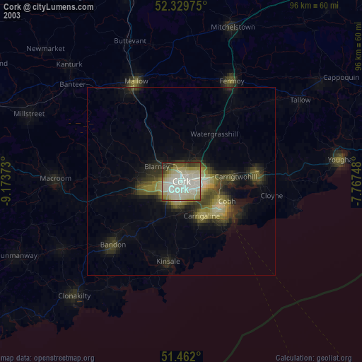
» NASA city lights 2003
» Earth at Night: Flat Maps 2012, 2016