Roscrea night lights from space
Night Light of Roscrea (Munster) from space (Ireland) Src. Average luminocity for 10x10km area is 3.2315% and for 50x50km: 0.5237%.
Analysis of Roscrea night lights 2016
Square area 10x10 km:
 0%
0%90-99
0%80-89
0%70-79
0.66%60-69
2.25%50-59
0.93%40-49
0.4%30-39
0%20-29
0.4%10-19
1.19%0-9
94.18%Square area 50x50 km:
0%90-99
0%80-89
0.04%70-79
0.05%60-69
0.16%50-59
0.2%40-49
0.11%30-39
0.18%20-29
0.18%10-19
0.14%0-9
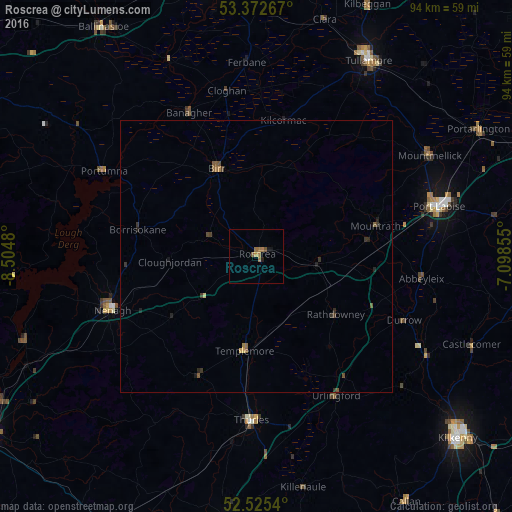
98.94%Clear (daylight) street map image can be seen on geolist.org.
Map coordinates:
53° 22' 21.6" North, 8° 30' 17.3" West
52° 57' 4" North, 7° 48' 6" West
52° 31' 31.4" North, 7° 5' 54.8" West
Some cities around Roscrea sort by population:
• Kilkenny
49.5 km =30.8 mi,  131°
131°
• Portlaoise
34.8 km =21.6 mi,  74°
74°
• Tullamore
41.5 km =25.8 mi,  30°
30°
• Portarlington
47.1 km =29.3 mi,  60°
60°
• Thurles
29.9 km =18.6 mi,  180°
180°
• Nenagh Bridge
27.5 km =17.1 mi,  253°
253°
• Ballinasloe
50.3 km =31.3 mi,  326°
326°
• Nenagh
28.3 km =17.6 mi, 249°
2961730 (p: 5,403)
Sources (retrieved 2019-11-25):
» Earth at Night: Flat Maps 2012, 2016