Finglas night lights from space
Night Light of Finglas (Leinster) from space (Ireland) Src. Average luminocity for 10x10km area is 90.6005% and for 50x50km: 24.0657%.
Analysis of Finglas night lights 2016
Square area 10x10 km:
 54.76%
90-99
18.12%80-89
7.67%70-79
6.75%60-69
4.5%50-59
1.85%40-49
3.44%30-39
2.91%20-29
0%10-19
0%0-9
0%Square area 50x50 km:
8.31%90-99
5.49%80-89
1.77%70-79
1.76%60-69
1.71%50-59
1.59%40-49
2.16%30-39
2.7%20-29
5.16%10-19
10.45%0-9
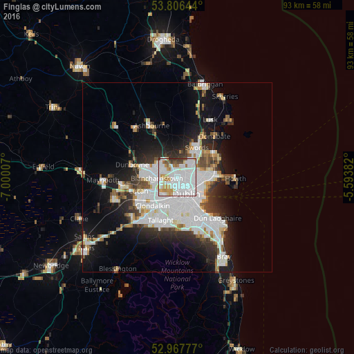
58.89%Clear (daylight) street map image can be seen on geolist.org.
Map coordinates:
53° 48' 23.2" North, 7° 0' 0.3" West
53° 23' 21" North, 6° 17' 49" West
52° 58' 4" North, 5° 35' 37.8" West
Some cities around Finglas sort by population:
• Blanchardstown
5.2 km =3.2 mi,  268°
268°
• Marino
4.5 km =2.8 mi,  117°
117°
• Beaumont
4.6 km =2.9 mi,  92°
92°
• Castleknock
4.7 km =2.9 mi,  250°
250°
• Donnycarney
6 km =3.7 mi,  106°
106°
• Ballymun
2.2 km =1.4 mi,  63°
63°
• Artane
5.5 km =3.4 mi, 92°
• Chapelizod
5.5 km =3.4 mi,  214°
214°
2964303 (p: 19,768)
Sources (retrieved 2019-11-25):
» Earth at Night: Flat Maps 2012, 2016