Donnycarney night lights from space
Night Light of Donnycarney (Leinster) from space (Ireland) Src. Average luminocity for 10x10km area is 84.6693% and for 50x50km: 22.819%.
Analysis of Donnycarney night lights 2016
Square area 10x10 km:
 56.88%
90-99
14.29%80-89
2.38%70-79
4.1%60-69
3.17%50-59
3.17%40-49
2.25%30-39
6.22%20-29
7.28%10-19
0.26%0-9
0%Square area 50x50 km:
8.11%90-99
5.21%80-89
1.64%70-79
1.59%60-69
1.61%50-59
1.44%40-49
2.07%30-39
2.59%20-29
5.16%10-19
9.47%0-9
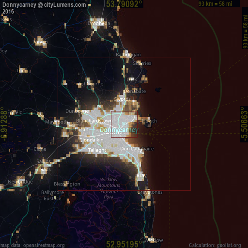
61.1%Clear (daylight) street map image can be seen on geolist.org.
Map coordinates:
53° 47' 27.3" North, 6° 54' 46.4" West
53° 22' 24.6" North, 6° 12' 35.1" West
52° 57' 7" North, 5° 30' 23.9" West
Some cities around Donnycarney sort by population:
• Marino
1.8 km =1.1 mi,  258°
258°
• Beaumont
1.9 km =1.2 mi,  322°
322°
• Ringsend
3.7 km =2.3 mi,  197°
197°
• Raheny
2.4 km =1.5 mi,  52°
52°
• Darndale
3.2 km =2 mi,  25°
25°
• Artane
1.5 km =0.9 mi,  349°
349°
• Killester
0.4 km =0.2 mi,  94°
94°
• Dollymount
2.2 km =1.4 mi,  116°
116°
6691048 (p: 7,660)
Sources (retrieved 2019-11-25):
» Earth at Night: Flat Maps 2012, 2016