Ballymun night lights from space
Night Light of Ballymun (Leinster) from space (Ireland) Src. Average luminocity for 10x10km area is 86.4272% and for 50x50km: 23.5372%.
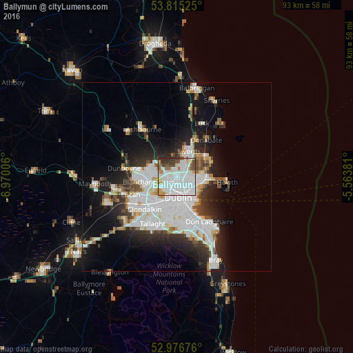
Analysis of Ballymun night lights 2016
Square area 10x10 km:
 52.91%
90-99
16.4%80-89
3.97%70-79
6.22%60-69
3.84%50-59
3.31%40-49
6.22%30-39
5.56%20-29
1.59%10-19
0%0-9
0%Square area 50x50 km:
8.27%90-99
5.4%80-89
1.68%70-79
1.69%60-69
1.62%50-59
1.5%40-49
2.1%30-39
2.68%20-29
5.11%10-19
9.94%0-9
60.01%Clear (daylight) street map image can be seen on geolist.org.
Map coordinates:
53° 48' 54.9" North, 6° 58' 12.2" West
53° 23' 53.1" North, 6° 16' 0.9" West
52° 58' 36.3" North, 5° 33' 49.7" West
Some cities around Ballymun sort by population:
• Finglas
2.2 km =1.4 mi,  243°
243°
• Marino
3.7 km =2.3 mi,  146°
146°
• Beaumont
2.9 km =1.8 mi,  114°
114°
• Donnycarney
4.7 km =2.9 mi,  125°
125°
• Raheny
5.9 km =3.7 mi,  102°
102°
• Darndale
5.2 km =3.2 mi,  88°
88°
• Artane
3.7 km =2.3 mi, 109°
• Killester
5 km =3.1 mi,  123°
123°
3315315 (p: 6,262)
Sources (retrieved 2019-11-25):
» Earth at Night: Flat Maps 2012, 2016