Carlow night lights from space
Night Light of Carlow (Leinster) from space (Ireland) Src. Average luminocity for 10x10km area is 17.0076% and for 50x50km: 2.8611%.
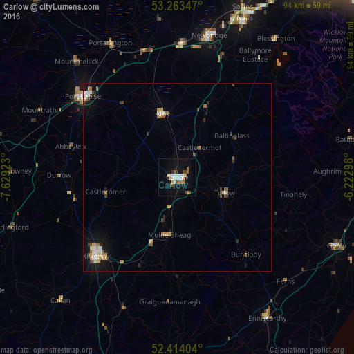
Analysis of Carlow night lights 2016
Square area 10x10 km:
 2.78%
2.78%90-99
3.79%80-89
0.88%70-79
1.89%60-69
1.64%50-59
2.15%40-49
1.52%30-39
1.77%20-29
1.01%10-19
13.51%0-9
69.07%Square area 50x50 km:
0.39%90-99
0.38%80-89
0.3%70-79
0.41%60-69
0.38%50-59
0.44%40-49
0.38%30-39
0.26%20-29
0.31%10-19
2.02%0-9
94.72%Clear (daylight) street map image can be seen on geolist.org.
Map coordinates:
53° 15' 48.5" North, 7° 37' 45.2" West
52° 50' 27" North, 6° 55' 34" West
52° 24' 50.5" North, 6° 13' 22.7" West
Some cities around Carlow sort by population:
• Kilkenny
30.2 km =18.8 mi,  226°
226°
• Droichead Nua
38.9 km =24.2 mi,  12°
12°
• Portlaoise
33 km =20.5 mi,  310°
310°
• Athy
17.1 km =10.6 mi,  347°
347°
• Kildare
35.1 km =21.8 mi,  1°
1°
• Portarlington
39.9 km =24.8 mi,  333°
333°
• Cherryville
35.3 km =21.9 mi,  355°
355°
• Blessington
45.1 km =28 mi,  35°
35°
2965768 (p: 20,055)
Sources (retrieved 2019-11-25):
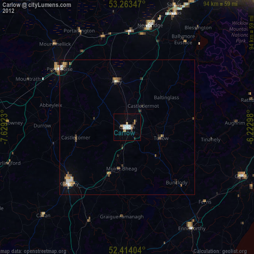
» Earth at Night: Flat Maps 2012, 2016