Kilkenny night lights from space
Night Light of Kilkenny (Leinster) from space (Ireland) Src. Average luminocity for 10x10km area is 22.3889% and for 50x50km: 2.272%.
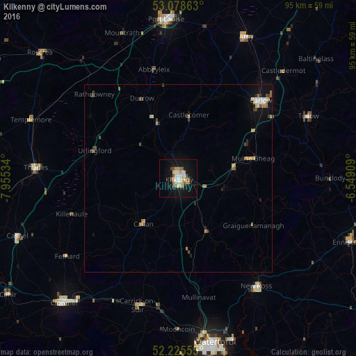
Analysis of Kilkenny night lights 2016
Square area 10x10 km:
 4.37%
4.37%90-99
3.04%80-89
3.44%70-79
3.7%60-69
2.25%50-59
2.25%40-49
2.25%30-39
0.4%20-29
0%10-19
25.79%0-9
52.51%Square area 50x50 km:
0.28%90-99
0.28%80-89
0.26%70-79
0.4%60-69
0.31%50-59
0.28%40-49
0.35%30-39
0.16%20-29
0.26%10-19
1.7%0-9
95.71%Clear (daylight) street map image can be seen on geolist.org.
Map coordinates:
53° 4' 43.1" North, 7° 57' 19.2" West
52° 39' 15" North, 7° 15' 8" West
52° 13' 32" North, 6° 32' 56.7" West
Some cities around Kilkenny sort by population:
• Waterford
45 km =28 mi,  167°
167°
• Carlow
30.2 km =18.8 mi,  46°
46°
• Cluain Meala
45.2 km =28.1 mi,  222°
222°
• Portlaoise
42.4 km =26.3 mi,  355°
355°
• Athy
41.7 km =25.9 mi,  25°
25°
• Thurles
37.2 km =23.1 mi,  274°
274°
• New Ross
35.7 km =22.2 mi,  143°
143°
• Carrick-on-Suir
35.6 km =22.1 mi,  197°
197°
2963398 (p: 21,589)
Sources (retrieved 2019-11-25):
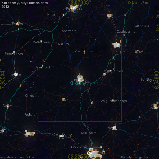
» Earth at Night: Flat Maps 2012, 2016