Waterford night lights from space
Night Light of Waterford (Munster) from space (Ireland) Src. Average luminocity for 10x10km area is 42.8902% and for 50x50km: 2.8922%.

Analysis of Waterford night lights 2016
Square area 10x10 km:
 9.66%
9.66%90-99
12.57%80-89
3.44%70-79
2.51%60-69
5.03%50-59
2.51%40-49
2.91%30-39
4.63%20-29
14.68%10-19
33.6%0-9
8.47%Square area 50x50 km:
0.47%90-99
0.6%80-89
0.3%70-79
0.24%60-69
0.28%50-59
0.17%40-49
0.33%30-39
0.33%20-29
0.76%10-19
2.4%0-9
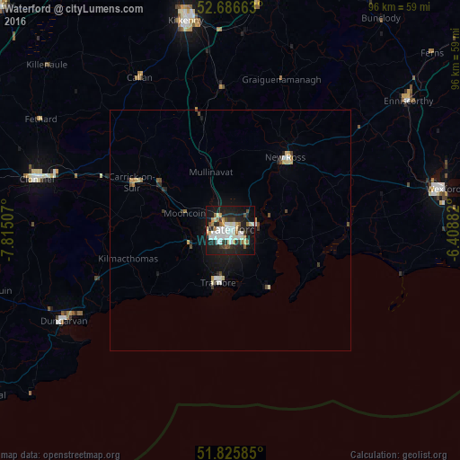
94.11%Clear (daylight) street map image can be seen on geolist.org.
Map coordinates:
52° 41' 11.9" North, 7° 48' 54.3" West
52° 15' 30" North, 7° 6' 43" West
51° 49' 33.1" North, 6° 24' 31.8" West
Some cities around Waterford sort by population:
• Kilkenny
45 km =28 mi,  347°
347°
• Loch Garman
45.3 km =28.1 mi,  79°
79°
• Cluain Meala
41.7 km =25.9 mi,  284°
284°
• Enniscorthy
46.3 km =28.8 mi,  54°
54°
• Trá Mhór
11 km =6.8 mi,  194°
194°
• Dungarvan
39.8 km =24.7 mi,  241°
241°
• New Ross
19.5 km =12.1 mi,  37°
37°
• Carrick-on-Suir
22.8 km =14.2 mi,  296°
296°
2960992 (p: 47,904)
Sources (retrieved 2019-11-25):
» Earth at Night: Flat Maps 2012, 2016