Ashbourne night lights from space
Night Light of Ashbourne (Leinster) from space (Ireland) Src. Average luminocity for 10x10km area is 12.4511% and for 50x50km: 20.822%.
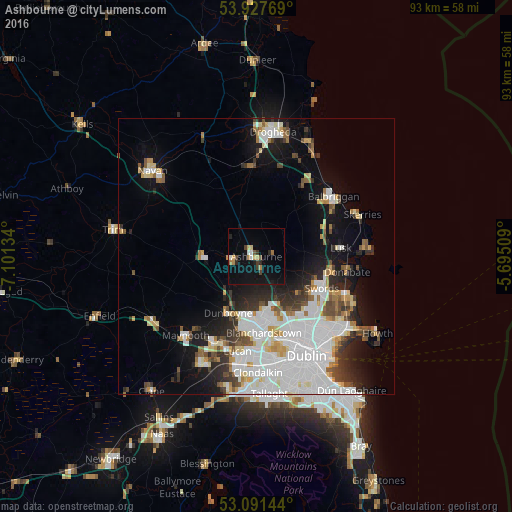
Analysis of Ashbourne night lights 2016
Square area 10x10 km:
 1.06%
1.06%90-99
1.06%80-89
1.72%70-79
1.19%60-69
2.38%50-59
0.4%40-49
2.12%30-39
1.72%20-29
2.25%10-19
8.6%0-9
77.51%Square area 50x50 km:
7.12%90-99
4.57%80-89
1.68%70-79
1.62%60-69
1.57%50-59
1.63%40-49
2.01%30-39
1.97%20-29
3.57%10-19
8.18%0-9
66.1%Clear (daylight) street map image can be seen on geolist.org.
Map coordinates:
53° 55' 39.7" North, 7° 6' 4.8" West
53° 30' 41.9" North, 6° 23' 53.6" West
53° 5' 29.2" North, 5° 41' 42.3" West
Some cities around Ashbourne sort by population:
• Swords
13.2 km =8.2 mi,  115°
115°
• Finglas
15.2 km =9.4 mi,  153°
153°
• Blanchardstown
13.8 km =8.6 mi,  173°
173°
• Ratoath
4.3 km =2.7 mi,  264°
264°
• Dunboyne
11.4 km =7.1 mi,  205°
205°
• Ballymun
15.3 km =9.5 mi, 145°
• Hartstown
13.3 km =8.3 mi,  188°
188°
• Kinsealy-Drinan
14.9 km =9.3 mi, 120°
2966870 (p: 11,355)
Sources (retrieved 2019-11-25):
» Earth at Night: Flat Maps 2012, 2016