Sidareja night lights from space
Night Light of Sidareja (Central Java) from space (Indonesia) Src. Average luminocity for 10x10km area is 3.026% and for 50x50km: 2.0807%.
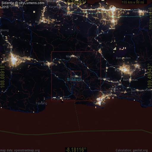
Analysis of Sidareja night lights 2016
Square area 10x10 km:
 0%
0%90-99
0%80-89
0%70-79
0%60-69
0.87%50-59
0.87%40-49
1.73%30-39
1.52%20-29
1.95%10-19
0.65%0-9
92.42%Square area 50x50 km:
0.18%90-99
0.38%80-89
0.13%70-79
0.09%60-69
0.29%50-59
0.29%40-49
0.28%30-39
0.74%20-29
0.71%10-19
1.24%0-9
95.67%Clear (daylight) street map image can be seen on geolist.org.
Map coordinates:
6° 47' 12.9" South, 108° 5' 21" East
7° 29' 4.6" South, 108° 47' 32.3" East
8° 10' 52.2" South, 109° 29' 43.5" East
Some cities around Sidareja sort by population:
• Purwokerto
49.3 km =30.6 mi,  81°
81°
• Ciamis
51.5 km =32 mi,  290°
290°
• Sokaraja
54.7 km =34 mi,  86°
86°
• Baturaden
51.1 km =31.8 mi,  66°
66°
• Majenang
21 km =13 mi,  351°
351°
• Wangon
29 km =18 mi,  96°
96°
• Margasari
49.4 km =30.7 mi,  30°
30°
• Kroya
52.7 km =32.7 mi,  108°
108°
1627267 (p: 30,313)
Sources (retrieved 2019-11-25):
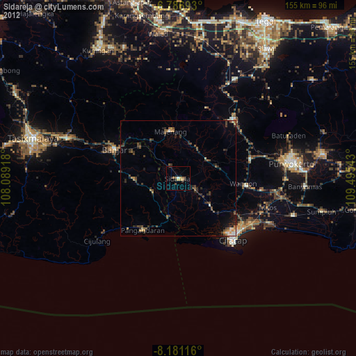
» Earth at Night: Flat Maps 2012, 2016