Teluk Nibung night lights from space
Night Light of Teluk Nibung (North Sumatra) from space (Indonesia) Src. Average luminocity for 10x10km area is 12.7251% and for 50x50km: 3.3017%.
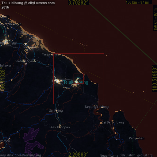
Analysis of Teluk Nibung night lights 2016
Square area 10x10 km:
 0.65%
0.65%90-99
1.52%80-89
1.08%70-79
2.81%60-69
2.81%50-59
2.6%40-49
1.3%30-39
1.52%20-29
0.43%10-19
3.9%0-9
81.39%Square area 50x50 km:
0.09%90-99
0.29%80-89
0.16%70-79
0.33%60-69
0.48%50-59
1.96%40-49
0.63%30-39
0.12%20-29
0.39%10-19
1.1%0-9
94.46%Clear (daylight) street map image can be seen on geolist.org.
Map coordinates:
3° 42' 10.5" North, 99° 6' 47.8" East
3° 0' 3.6" North, 99° 48' 59" East
2° 17' 55.1" North, 100° 31' 10.3" East
Some cities around Teluk Nibung sort by population:
• Pematangsiantar
83.2 km =51.7 mi,  266°
266°
• Tanjungbalai
4.2 km =2.6 mi,  205°
205°
• Kisaran
22.3 km =13.9 mi, 265°
• Tebingtinggi
81.2 km =50.5 mi,  296°
296°
• Rantauprapat
100.2 km =62.3 mi,  178°
178°
• Pekan Bahapal
72.5 km =45 mi,  279°
279°
• Bandar
106 km =65.9 mi, 183°
• Parapat
104.9 km =65.2 mi,  248°
248°
1213493 (p: 25,146)
Sources (retrieved 2019-11-25):
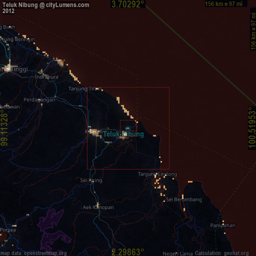
» Earth at Night: Flat Maps 2012, 2016