Bandar night lights from space
Night Light of Bandar (North Sumatra) from space (Indonesia) Src. Average luminocity for 10x10km area is 0.3095% and for 50x50km: 1.1642%.
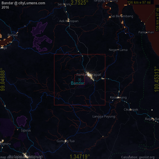
Analysis of Bandar night lights 2016
Square area 10x10 km:
 0%
0%90-99
0%80-89
0%70-79
0%60-69
0%50-59
0%40-49
0%30-39
0%20-29
0%10-19
0%0-9
100%Square area 50x50 km:
0.1%90-99
0.09%80-89
0.12%70-79
0.19%60-69
0.36%50-59
0.22%40-49
0.12%30-39
0.04%20-29
0.03%10-19
0.49%0-9
98.23%Clear (daylight) street map image can be seen on geolist.org.
Map coordinates:
2° 45' 9" North, 99° 2' 48.8" East
2° 3' 0" North, 99° 45' 0" East
1° 20' 49.9" North, 100° 27' 11.3" East
Some cities around Bandar sort by population:
• Tanjungbalai
102.1 km =63.4 mi,  3°
3°
• Kisaran
105 km =65.2 mi,  351°
351°
• Rantauprapat
10.8 km =6.7 mi,  59°
59°
• Padangsidempuan
91.6 km =56.9 mi,  215°
215°
• Sibolga
113 km =70.2 mi,  252°
252°
• Teluk Nibung
106 km =65.9 mi, 3°
• Tomok Bolon
119.3 km =74.1 mi,  304°
304°
• Parapat
113.3 km =70.4 mi,  306°
306°
1215498 (p: 31,442)
Sources (retrieved 2019-11-25):
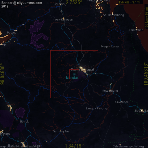
» Earth at Night: Flat Maps 2012, 2016