Rantauprapat night lights from space
Night Light of Rantauprapat (North Sumatra) from space (Indonesia) Src. Average luminocity for 10x10km area is 21.5173% and for 50x50km: 1.1993%.

Analysis of Rantauprapat night lights 2016
Square area 10x10 km:
 2.6%
2.6%90-99
2.16%80-89
3.03%70-79
4.76%60-69
5.19%50-59
3.68%40-49
0.65%30-39
0.87%20-29
0.43%10-19
11.47%0-9
65.15%Square area 50x50 km:
0.1%90-99
0.09%80-89
0.12%70-79
0.19%60-69
0.36%50-59
0.25%40-49
0.12%30-39
0.08%20-29
0.03%10-19
0.49%0-9
98.16%Clear (daylight) street map image can be seen on geolist.org.
Map coordinates:
2° 48' 8.9" North, 99° 7' 48.8" East
2° 6' 0" North, 99° 49' 60" East
1° 23' 50" North, 100° 32' 11.3" East
Some cities around Rantauprapat sort by population:
• Tanjungbalai
96.4 km =59.9 mi,  357°
357°
• Kisaran
101.3 km =62.9 mi,  346°
346°
• Padangsidempuan
101.6 km =63.1 mi,  217°
217°
• Sibolga
123.6 km =76.8 mi,  251°
251°
• Bandar
10.8 km =6.7 mi,  239°
239°
• Teluk Nibung
100.2 km =62.3 mi, 358°
• Tomok Bolon
124.3 km =77.2 mi,  299°
299°
• Parapat
117.8 km =73.2 mi, 302°
1214073 (p: 103,009)
Sources (retrieved 2019-11-25):
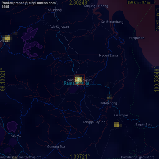
» NASA, Earths city lights 1995
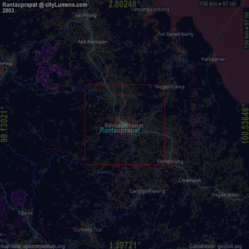
» NASA city lights 2003
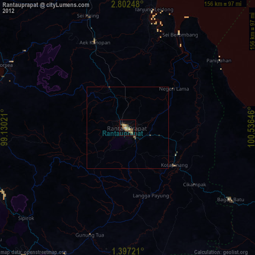
» Earth at Night: Flat Maps 2012, 2016