Pematangsiantar night lights from space
Night Light of Pematangsiantar (North Sumatra) from space (Indonesia) Src. Average luminocity for 10x10km area is 35.4199% and for 50x50km: 2.0525%.
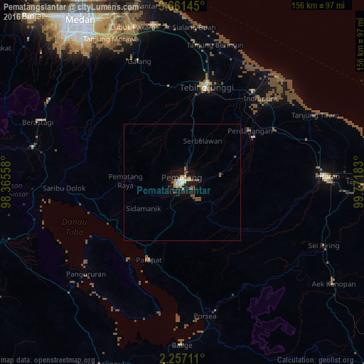
Analysis of Pematangsiantar night lights 2016
Square area 10x10 km:
 3.68%
3.68%90-99
6.06%80-89
5.41%70-79
6.93%60-69
5.84%50-59
8.23%40-49
1.08%30-39
0%20-29
0%10-19
49.57%0-9
13.2%Square area 50x50 km:
0.15%90-99
0.24%80-89
0.22%70-79
0.29%60-69
0.29%50-59
0.65%40-49
0.28%30-39
0%20-29
0.03%10-19
2.28%0-9
95.57%Clear (daylight) street map image can be seen on geolist.org.
Map coordinates:
3° 39' 41.2" North, 98° 21' 56.1" East
2° 57' 34.2" North, 99° 4' 7.3" East
2° 15' 25.6" North, 99° 46' 18.6" East
Some cities around Pematangsiantar sort by population:
• Kisaran
60.8 km =37.8 mi,  87°
87°
• Tebingtinggi
42.3 km =26.3 mi,  14°
14°
• Kabanjahe
66 km =41 mi,  283°
283°
• Berastagi
67.4 km =41.9 mi,  292°
292°
• Pekan Bahapal
20.7 km =12.9 mi,  34°
34°
• Tongging
61 km =37.9 mi,  263°
263°
• Tomok Bolon
41.2 km =25.6 mi,  214°
214°
• Parapat
36.2 km =22.5 mi,  204°
204°
1214204 (p: 209,614)
Sources (retrieved 2019-11-25):
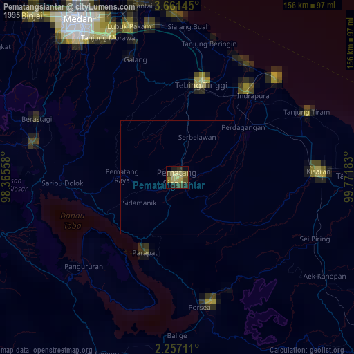
» NASA, Earths city lights 1995
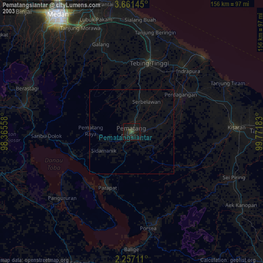
» NASA city lights 2003
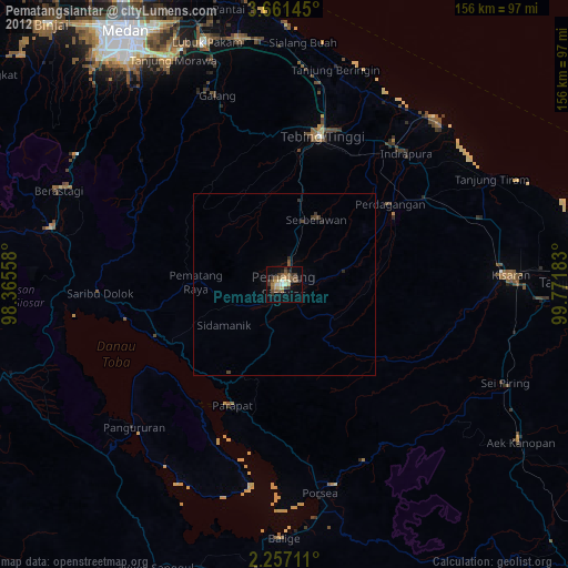
» Earth at Night: Flat Maps 2012, 2016