Kisaran night lights from space
Night Light of Kisaran (North Sumatra) from space (Indonesia) Src. Average luminocity for 10x10km area is 25.0519% and for 50x50km: 3.128%.
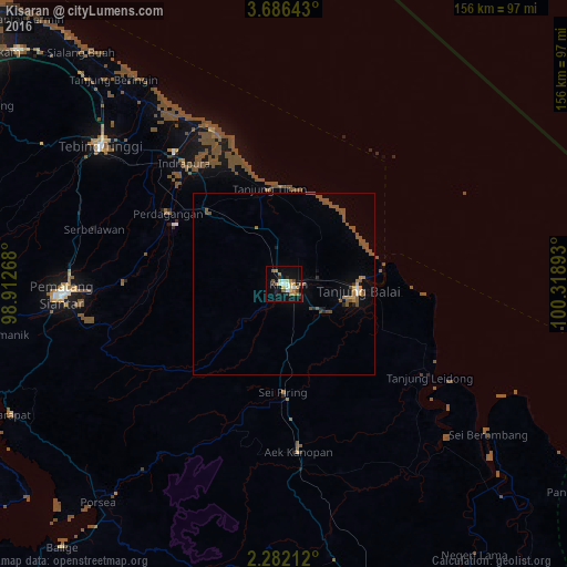
Analysis of Kisaran night lights 2016
Square area 10x10 km:
 1.3%
1.3%90-99
5.41%80-89
2.81%70-79
3.25%60-69
6.06%50-59
4.55%40-49
1.52%30-39
0.65%20-29
5.19%10-19
19.7%0-9
49.57%Square area 50x50 km:
0.09%90-99
0.29%80-89
0.16%70-79
0.33%60-69
0.48%50-59
1.71%40-49
0.5%30-39
0.12%20-29
0.41%10-19
1.11%0-9
94.81%Clear (daylight) street map image can be seen on geolist.org.
Map coordinates:
3° 41' 11.1" North, 98° 54' 45.6" East
2° 59' 4.2" North, 99° 36' 56.9" East
2° 16' 55.6" North, 100° 19' 8.1" East
Some cities around Kisaran sort by population:
• Pematangsiantar
60.8 km =37.8 mi,  267°
267°
• Perbaungan
97.8 km =60.8 mi,  311°
311°
• Tanjungbalai
20.5 km =12.7 mi,  95°
95°
• Tebingtinggi
63.2 km =39.3 mi, 307°
• Pekan Bahapal
51.1 km =31.8 mi,  286°
286°
• Teluk Nibung
22.3 km =13.9 mi,  85°
85°
• Tomok Bolon
91.6 km =56.9 mi,  246°
246°
• Parapat
83.6 km =51.9 mi,  244°
244°
1214882 (p: 129,911)
Sources (retrieved 2019-11-25):
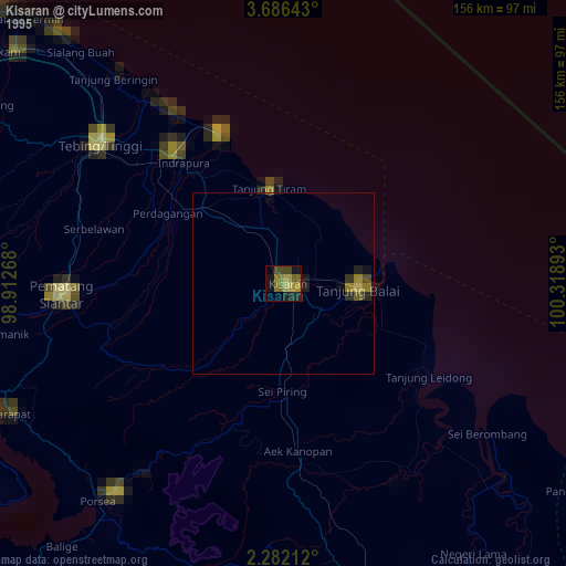
» NASA, Earths city lights 1995
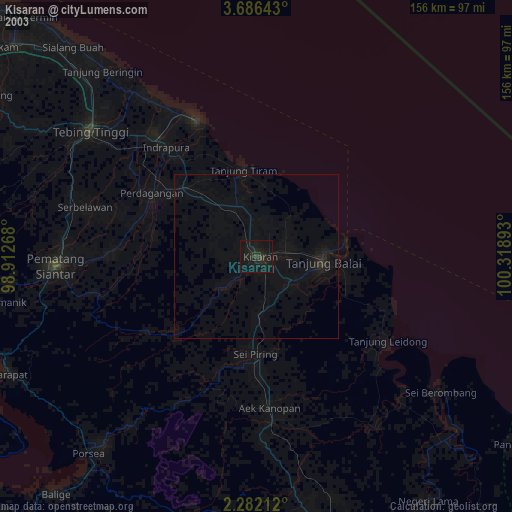
» NASA city lights 2003
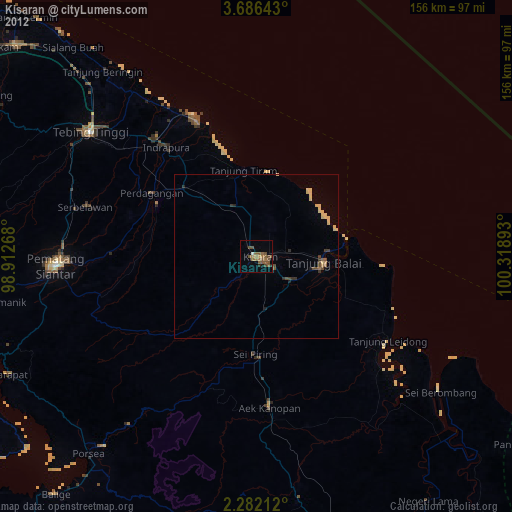
» Earth at Night: Flat Maps 2012, 2016