Pekan Bahapal night lights from space
Night Light of Pekan Bahapal (North Sumatra) from space (Indonesia) Src. Average luminocity for 10x10km area is 0.1645% and for 50x50km: 3.7359%.
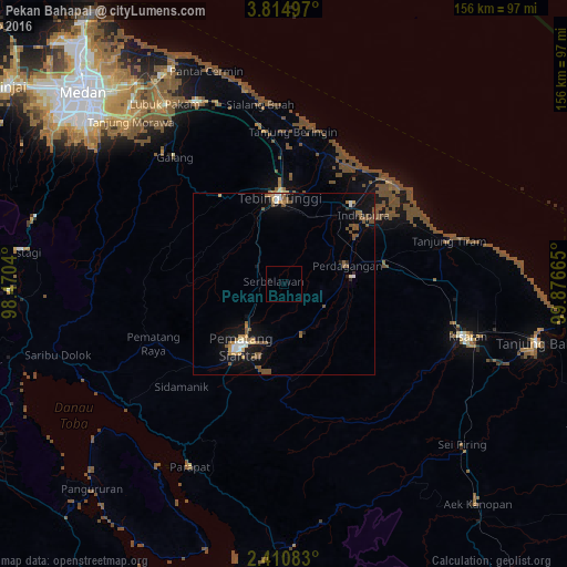
Analysis of Pekan Bahapal night lights 2016
Square area 10x10 km:
 0%
0%90-99
0%80-89
0%70-79
0%60-69
0%50-59
0%40-49
0%30-39
0%20-29
0%10-19
0.87%0-9
99.13%Square area 50x50 km:
0.28%90-99
0.41%80-89
0.3%70-79
0.43%60-69
0.53%50-59
1.19%40-49
0.78%30-39
0.05%20-29
0.27%10-19
3.46%0-9
92.31%Clear (daylight) street map image can be seen on geolist.org.
Map coordinates:
3° 48' 53.9" North, 98° 28' 13.4" East
3° 6' 47.3" North, 99° 10' 24.7" East
2° 24' 39" North, 99° 52' 35.9" East
Some cities around Pekan Bahapal sort by population:
• Percut
66.5 km =41.3 mi,  328°
328°
• Pematangsiantar
20.7 km =12.9 mi,  214°
214°
• Perbaungan
56 km =34.8 mi, 334°
• Kisaran
51.1 km =31.8 mi,  106°
106°
• Tebingtinggi
24 km =14.9 mi,  357°
357°
• Deli Tua
69.9 km =43.4 mi,  308°
308°
• Tomok Bolon
61.9 km =38.5 mi, 214°
• Parapat
56.6 km =35.2 mi, 207°
8449493 (p: 40,000)
Sources (retrieved 2019-11-25):
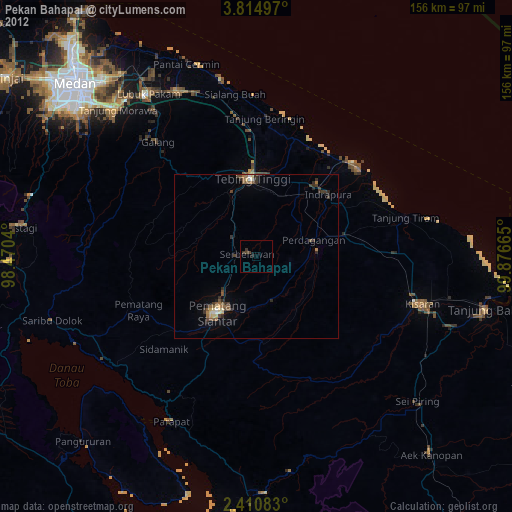
» Earth at Night: Flat Maps 2012, 2016