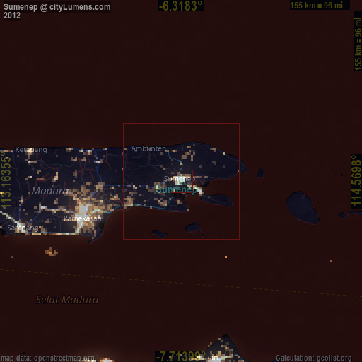
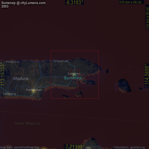
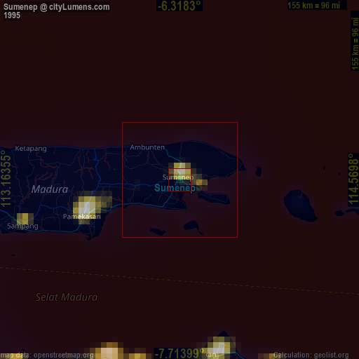
Sumenep night lights from space
Night Light of Sumenep (East Java) from space (Indonesia) Src. Average luminocity for 10x10km area is 29.1299% and for 50x50km: 3.5112%.
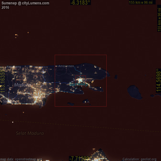
Analysis of Sumenep night lights 2016
Square area 10x10 km:
 1.3%
1.3%90-99
6.49%80-89
4.55%70-79
3.46%60-69
2.38%50-59
2.81%40-49
5.19%30-39
3.9%20-29
7.79%10-19
39.61%0-9
22.51%Square area 50x50 km:
0.05%90-99
0.28%80-89
0.29%70-79
0.42%60-69
0.31%50-59
0.35%40-49
1.04%30-39
1.25%20-29
1.47%10-19
2.72%0-9
91.83%Clear (daylight) street map image can be seen on geolist.org.
Map coordinates:
6° 19' 5.9" South, 113° 9' 48.8" East
7° 1' 0" South, 113° 52' 0" East
7° 42' 50.4" South, 114° 34' 11.3" East
Some cities around Sumenep sort by population:
• Situbondo
78.3 km =48.7 mi,  168°
168°
• Pamekasan
46 km =28.6 mi,  250°
250°
• Besuki
81.9 km =50.9 mi,  193°
193°
• Sampang
71.8 km =44.6 mi, 254°
• Balung
79.9 km =49.6 mi,  176°
176°
• Panji
82.9 km =51.5 mi,  161°
161°
• Panarukan
76.4 km =47.5 mi, 175°
• Kalianget
9.3 km =5.8 mi,  116°
116°
1626099 (p: 84,656)
Sources (retrieved 2019-11-25):
» NASA, Earths city lights 1995
» NASA city lights 2003
» Earth at Night: Flat Maps 2012, 2016