Besuki night lights from space
Night Light of Besuki (East Java) from space (Indonesia) Src. Average luminocity for 10x10km area is 14.2521% and for 50x50km: 5.8053%.
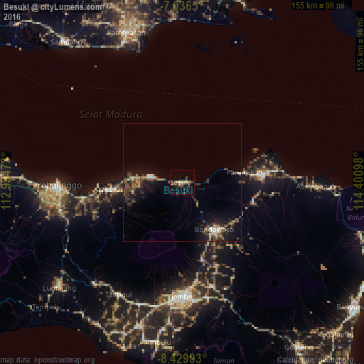
Analysis of Besuki night lights 2016
Square area 10x10 km:
 0%
0%90-99
0.83%80-89
1.65%70-79
2.89%60-69
0.41%50-59
2.48%40-49
5.79%30-39
4.13%20-29
5.37%10-19
1.86%0-9
74.59%Square area 50x50 km:
0.2%90-99
0.69%80-89
0.52%70-79
0.66%60-69
0.45%50-59
1.06%40-49
1.87%30-39
1.41%20-29
1.65%10-19
4.95%0-9
86.53%Clear (daylight) street map image can be seen on geolist.org.
Map coordinates:
7° 2' 11.4" South, 112° 59' 41" East
7° 44' 1.6" South, 113° 41' 52.3" East
8° 25' 47.7" South, 114° 24' 3.5" East
Some cities around Besuki sort by population:
• Situbondo
34.5 km =21.4 mi,  84°
84°
• Jember
48.7 km =30.3 mi,  179°
179°
• Probolinggo
53.1 km =33 mi,  267°
267°
• Bondowoso
24.2 km =15 mi,  145°
145°
• Balung
24.1 km =15 mi,  89°
89°
• Panji
44.3 km =27.5 mi, 88°
• Panarukan
24.6 km =15.3 mi, 81°
• Kraksaan
33.3 km =20.7 mi, 265°
1648918 (p: 55,465)
Sources (retrieved 2019-11-25):
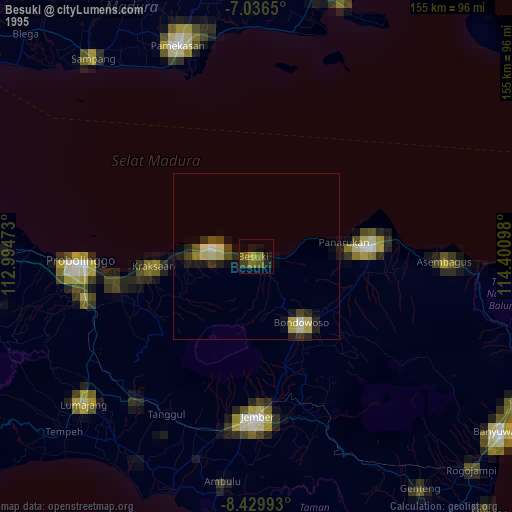
» NASA, Earths city lights 1995
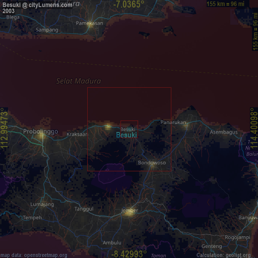
» NASA city lights 2003
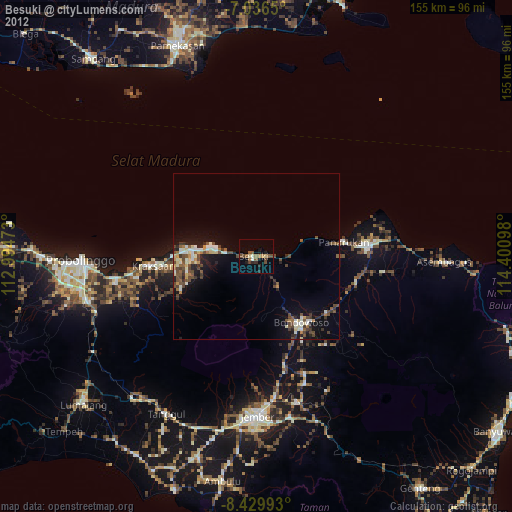
» Earth at Night: Flat Maps 2012, 2016