Panji night lights from space
Night Light of Panji (East Java) from space (Indonesia) Src. Average luminocity for 10x10km area is 16.6219% and for 50x50km: 6.1061%.
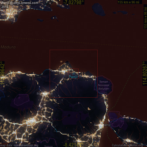
Analysis of Panji night lights 2016
Square area 10x10 km:
 0%
0%90-99
0.83%80-89
2.07%70-79
0.41%60-69
2.07%50-59
1.45%40-49
8.47%30-39
5.99%20-29
4.34%10-19
13.43%0-9
60.95%Square area 50x50 km:
0.11%90-99
0.74%80-89
0.53%70-79
0.64%60-69
0.45%50-59
0.76%40-49
2.24%30-39
1.68%20-29
1.81%10-19
4.92%0-9
86.14%Clear (daylight) street map image can be seen on geolist.org.
Map coordinates:
7° 1' 40.7" South, 113° 23' 47.1" East
7° 43' 31" South, 114° 5' 58.3" East
8° 25' 17.1" South, 114° 48' 9.6" East
Some cities around Panji sort by population:
• Situbondo
10.1 km =6.3 mi,  282°
282°
• Jember
66.4 km =41.3 mi,  221°
221°
• Banyuwangi
63.1 km =39.2 mi,  153°
153°
• Bondowoso
37.1 km =23.1 mi,  235°
235°
• Besuki
44.3 km =27.5 mi,  268°
268°
• Balung
20.2 km =12.6 mi, 267°
• Panarukan
20.1 km =12.5 mi, 277°
• Wongsorejo
44.4 km =27.6 mi,  131°
131°
1632566 (p: 42,789)
Sources (retrieved 2019-11-25):
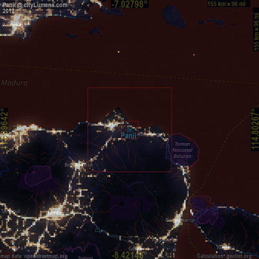
» Earth at Night: Flat Maps 2012, 2016