Pamekasan night lights from space
Night Light of Pamekasan (East Java) from space (Indonesia) Src. Average luminocity for 10x10km area is 62.0368% and for 50x50km: 14.2755%.
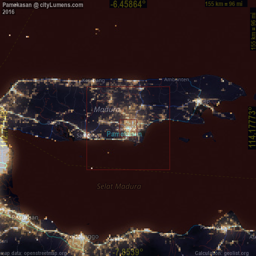

Analysis of Pamekasan night lights 2016
Square area 10x10 km:
 2.16%
2.16%90-99
9.74%80-89
12.34%70-79
17.75%60-69
20.13%50-59
8.23%40-49
8.87%30-39
6.93%20-29
12.12%10-19
1.73%0-9
0%Square area 50x50 km:
0.1%90-99
0.98%80-89
1.19%70-79
1.36%60-69
2.62%50-59
2.31%40-49
4.88%30-39
5.05%20-29
5.81%10-19
13.08%0-9
62.63%Clear (daylight) street map image can be seen on geolist.org.
Map coordinates:
6° 27' 31.1" South, 112° 46' 17.3" East
7° 9' 24.5" South, 113° 28' 28.6" East
7° 51' 14" South, 114° 10' 39.8" East
Some cities around Pamekasan sort by population:
• Probolinggo
72.3 km =44.9 mi,  203°
203°
• Sumenep
46 km =28.6 mi,  70°
70°
• Besuki
68.7 km =42.7 mi,  159°
159°
• Sampang
26.2 km =16.3 mi,  262°
262°
• Balung
80.5 km =50 mi,  142°
142°
• Panarukan
77.9 km =48.4 mi, 141°
• Kraksaan
67.5 km =41.9 mi,  187°
187°
• Kalianget
52.9 km =32.9 mi,  77°
77°
1632978 (p: 92,447)
Sources (retrieved 2019-11-25):
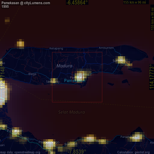
» NASA, Earths city lights 1995
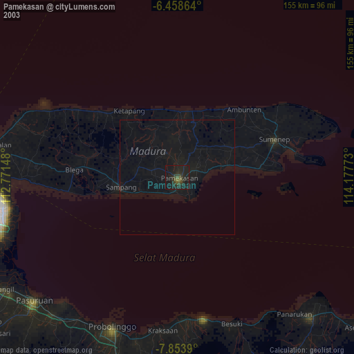
» NASA city lights 2003
» Earth at Night: Flat Maps 2012, 2016