Solok night lights from space
Night Light of Solok (West Sumatra) from space (Indonesia) Src. Average luminocity for 10x10km area is 18.7424% and for 50x50km: 4.6467%.
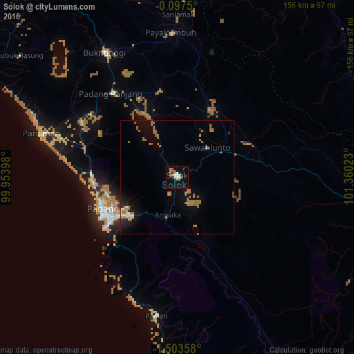
Analysis of Solok night lights 2016
Square area 10x10 km:
 1.95%
1.95%90-99
2.38%80-89
2.6%70-79
2.6%60-69
6.06%50-59
0.87%40-49
0%30-39
0.22%20-29
3.25%10-19
8.01%0-9
72.08%Square area 50x50 km:
0.24%90-99
0.31%80-89
0.35%70-79
0.72%60-69
2.05%50-59
0.84%40-49
0.01%30-39
0.1%20-29
0.73%10-19
2.45%0-9
92.2%Clear (daylight) street map image can be seen on geolist.org.
Map coordinates:
0° 5' 51" South, 99° 57' 14.3" East
0° 48' 2.2" South, 100° 39' 25.6" East
1° 30' 12.9" South, 101° 21' 36.8" East
Some cities around Solok sort by population:
• Padang
37.5 km =23.3 mi,  243°
243°
• Pekanbaru
170.5 km =105.9 mi,  30°
30°
• Payakumbuh
65.1 km =40.5 mi,  357°
357°
• Bukittinggi
63.3 km =39.3 mi,  329°
329°
• Sungai Penuh
161.7 km =100.5 mi,  149°
149°
• Pariaman
63 km =39.1 mi,  288°
288°
• Balaipungut
218.5 km =135.8 mi,  18°
18°
• Sijunjung
37.3 km =23.2 mi,  72°
72°
1626649 (p: 48,372)
Sources (retrieved 2019-11-25):
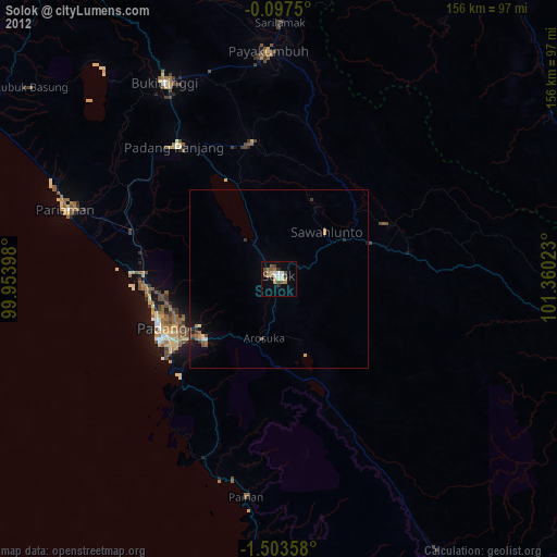
» Earth at Night: Flat Maps 2012, 2016