Sungai Penuh night lights from space
Night Light of Sungai Penuh (Jambi) from space (Indonesia) Src. Average luminocity for 10x10km area is 15.9437% and for 50x50km: 2.4729%.
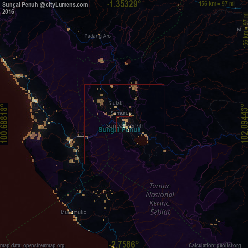
Analysis of Sungai Penuh night lights 2016
Square area 10x10 km:
 0.65%
0.65%90-99
1.95%80-89
2.6%70-79
3.9%60-69
6.93%50-59
0%40-49
0%30-39
0%20-29
0%10-19
1.08%0-9
82.9%Square area 50x50 km:
0.03%90-99
0.08%80-89
0.12%70-79
0.25%60-69
0.96%50-59
0.99%40-49
0.84%30-39
0.01%20-29
0%10-19
0.04%0-9
96.69%Clear (daylight) street map image can be seen on geolist.org.
Map coordinates:
1° 21' 11.8" South, 100° 41' 17.4" East
2° 3' 22" South, 101° 23' 28.7" East
2° 45' 31" South, 102° 5' 39.9" East
Some cities around Sungai Penuh sort by population:
• Padang
168.6 km =104.8 mi,  316°
316°
• Bengkulu
216.9 km =134.8 mi,  153°
153°
• Lubuklinggau
213.6 km =132.7 mi,  130°
130°
• Pariaman
213.3 km =132.5 mi, 318°
• Solok
161.7 km =100.5 mi,  329°
329°
• Curup
201.1 km =125 mi,  141°
141°
• Sijunjung
157.6 km =97.9 mi,  343°
343°
• Bejubang Dua
216 km =134.2 mi,  82°
82°
1625929 (p: 95,913)
Sources (retrieved 2019-11-25):
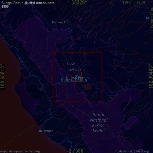
» NASA, Earths city lights 1995
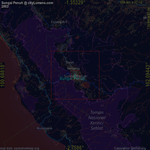
» NASA city lights 2003
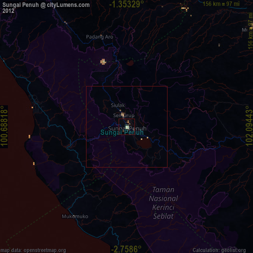
» Earth at Night: Flat Maps 2012, 2016