Payakumbuh night lights from space
Night Light of Payakumbuh (West Sumatra) from space (Indonesia) Src. Average luminocity for 10x10km area is 7.3442% and for 50x50km: 1.3286%.

Analysis of Payakumbuh night lights 2016
Square area 10x10 km:
 0%
0%90-99
0%80-89
0.87%70-79
0.87%60-69
1.95%50-59
5.84%40-49
0%30-39
0%20-29
0.43%10-19
2.16%0-9
87.88%Square area 50x50 km:
0%90-99
0%80-89
0.03%70-79
0.09%60-69
0.69%50-59
0.78%40-49
0.05%30-39
0%20-29
0.04%10-19
0.27%0-9
98.04%Clear (daylight) street map image can be seen on geolist.org.
Map coordinates:
0° 29' 14" North, 99° 55' 49" East
0° 12' 57.2" South, 100° 38' 0.2" East
0° 55' 8.4" South, 101° 20' 11.5" East
Some cities around Payakumbuh sort by population:
• Padang
87.2 km =54.2 mi,  200°
200°
• Pekanbaru
121.3 km =75.4 mi,  47°
47°
• Bukittinggi
31 km =19.3 mi,  250°
250°
• Sungai Penuh
221.3 km =137.5 mi,  157°
157°
• Pariaman
72.6 km =45.1 mi,  231°
231°
• Balaipungut
159.5 km =99.1 mi,  27°
27°
• Solok
65.1 km =40.5 mi,  177°
177°
• Sijunjung
66.1 km =41.1 mi,  144°
144°
1631905 (p: 121,572)
Sources (retrieved 2019-11-25):
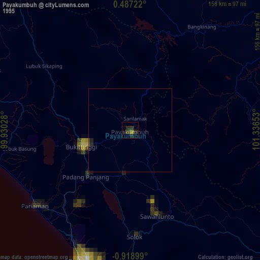
» NASA, Earths city lights 1995
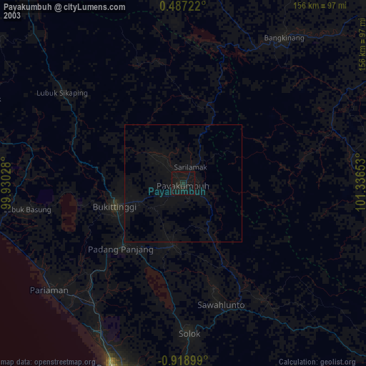
» NASA city lights 2003
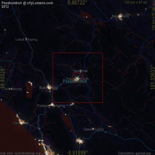
» Earth at Night: Flat Maps 2012, 2016