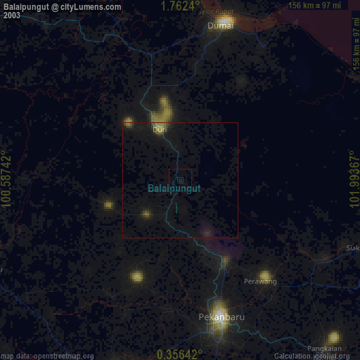
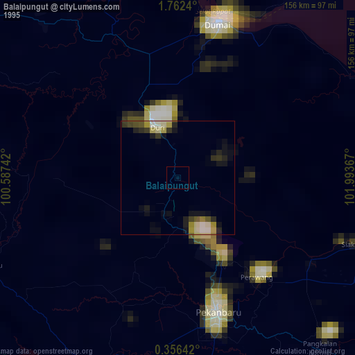
Balaipungut night lights from space
Night Light of Balaipungut (Riau) from space (Indonesia) Src. Average luminocity for 10x10km area is 3.7013% and for 50x50km: 2.2636%.
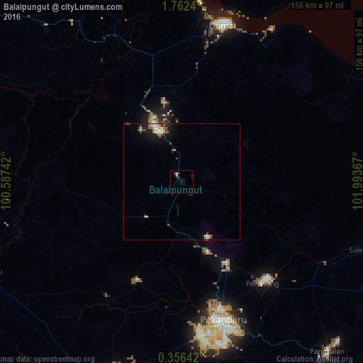
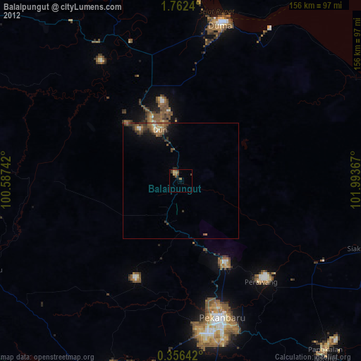
Analysis of Balaipungut night lights 2016
Square area 10x10 km:
 0.43%
0.43%90-99
0.43%80-89
0.87%70-79
0%60-69
0%50-59
0%40-49
0.87%30-39
0.87%20-29
3.25%10-19
1.95%0-9
91.34%Square area 50x50 km:
0.27%90-99
0.37%80-89
0.28%70-79
0.15%60-69
0.33%50-59
0.43%40-49
0.32%30-39
0.18%20-29
0.72%10-19
1.64%0-9
95.32%Clear (daylight) street map image can be seen on geolist.org.
Map coordinates:
1° 45' 44.6" North, 100° 35' 14.7" East
1° 3' 34.2" North, 101° 17' 25.9" East
0° 21' 23.1" North, 101° 59' 37.2" East
Some cities around Balaipungut sort by population:
• Pekanbaru
62.7 km =39 mi,  164°
164°
• Malacca, MY
164.7 km =102.3 mi,  39°
39°
• Dumai
69.7 km =43.3 mi,  14°
14°
• Payakumbuh
159.5 km =99.1 mi,  207°
207°
• Klebang Besar, MY
163.8 km =101.8 mi, 38°
• Sungai Udang, MY
164.5 km =102.2 mi, 35°
• Bukit Rambai, MY
166.3 km =103.3 mi, 36°
• Kuala Sungai Baru, MY
166.6 km =103.5 mi,  29°
29°
1650600 (p: 56,452)
Sources (retrieved 2019-11-25):
» NASA, Earths city lights 1995
» NASA city lights 2003
» Earth at Night: Flat Maps 2012, 2016