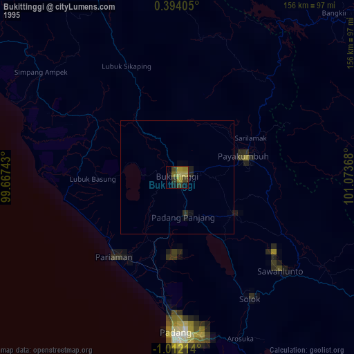
Bukittinggi night lights from space
Night Light of Bukittinggi (West Sumatra) from space (Indonesia) Src. Average luminocity for 10x10km area is 17.684% and for 50x50km: 4.0607%.
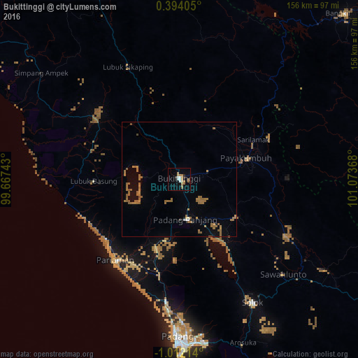
Analysis of Bukittinggi night lights 2016
Square area 10x10 km:
 1.95%
1.95%90-99
2.6%80-89
1.95%70-79
3.68%60-69
4.11%50-59
2.16%40-49
0%30-39
1.52%20-29
1.08%10-19
3.03%0-9
77.92%Square area 50x50 km:
0.11%90-99
0.19%80-89
0.1%70-79
0.55%60-69
1.96%50-59
1.31%40-49
0.14%30-39
0.12%20-29
0.11%10-19
0.67%0-9
94.73%Clear (daylight) street map image can be seen on geolist.org.
Map coordinates:
0° 23' 38.6" North, 99° 40' 2.7" East
0° 18' 32.7" South, 100° 22' 14" East
1° 0' 43.7" South, 101° 4' 25.2" East
Some cities around Bukittinggi sort by population:
• Padang
71.2 km =44.2 mi,  181°
181°
• Pekanbaru
150.4 km =93.5 mi,  52°
52°
• Payakumbuh
31 km =19.3 mi,  70°
70°
• Padangsidempuan
224 km =139.2 mi,  326°
326°
• Pariaman
44.3 km =27.5 mi,  218°
218°
• Balaipungut
183.4 km =114 mi,  33°
33°
• Solok
63.3 km =39.3 mi,  149°
149°
• Sijunjung
80.3 km =49.9 mi,  122°
122°
1647866 (p: 98,746)
Sources (retrieved 2019-11-25):
» NASA, Earths city lights 1995
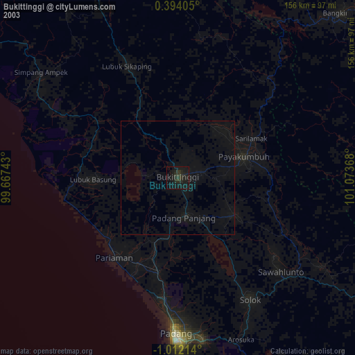
» NASA city lights 2003
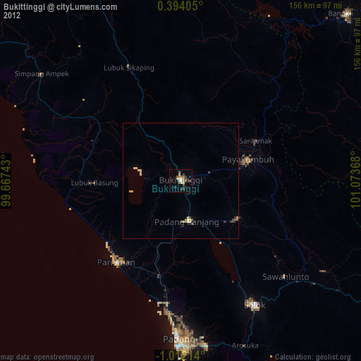
» Earth at Night: Flat Maps 2012, 2016