Sijunjung night lights from space
Night Light of Sijunjung (West Sumatra) from space (Indonesia) Src. Average luminocity for 10x10km area is 2.2814% and for 50x50km: 1.4804%.
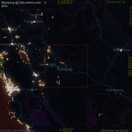
Analysis of Sijunjung night lights 2016
Square area 10x10 km:
 0%
0%90-99
0%80-89
0%70-79
0.87%60-69
0%50-59
2.16%40-49
0%30-39
0%20-29
0.43%10-19
0.87%0-9
95.67%Square area 50x50 km:
0%90-99
0%80-89
0.03%70-79
0.17%60-69
0.63%50-59
0.87%40-49
0.2%30-39
0.1%20-29
0.04%10-19
0.03%0-9
97.92%Clear (daylight) street map image can be seen on geolist.org.
Map coordinates:
0° 0' 9.4" North, 100° 16' 27.4" East
0° 42' 1.8" South, 100° 58' 38.6" East
1° 24' 12.6" South, 101° 40' 49.9" East
Some cities around Sijunjung sort by population:
• Padang
74.6 km =46.4 mi,  248°
248°
• Pekanbaru
144.8 km =90 mi,  20°
20°
• Payakumbuh
66.1 km =41.1 mi,  324°
324°
• Bukittinggi
80.3 km =49.9 mi,  302°
302°
• Sungai Penuh
157.6 km =97.9 mi,  163°
163°
• Pariaman
95.8 km =59.5 mi,  275°
275°
• Balaipungut
198.8 km =123.5 mi,  10°
10°
• Solok
37.3 km =23.2 mi, 252°
1627185 (p: 27,786)
Sources (retrieved 2019-11-25):
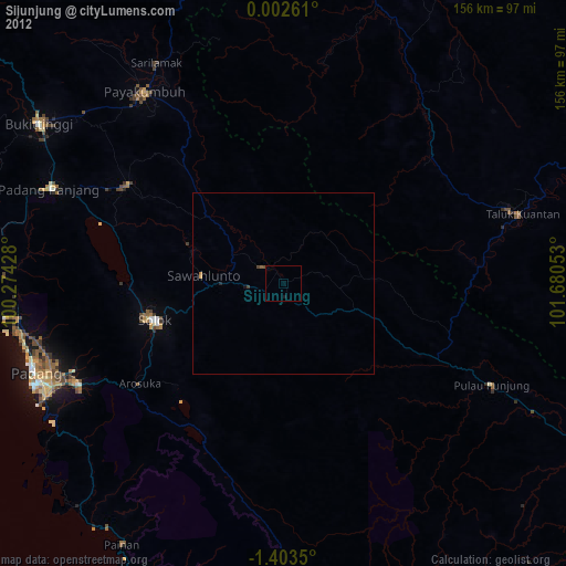
» Earth at Night: Flat Maps 2012, 2016