Pekanbaru night lights from space
Night Light of Pekanbaru (Riau) from space (Indonesia) Src. Average luminocity for 10x10km area is 83.2403% and for 50x50km: 13.9002%.
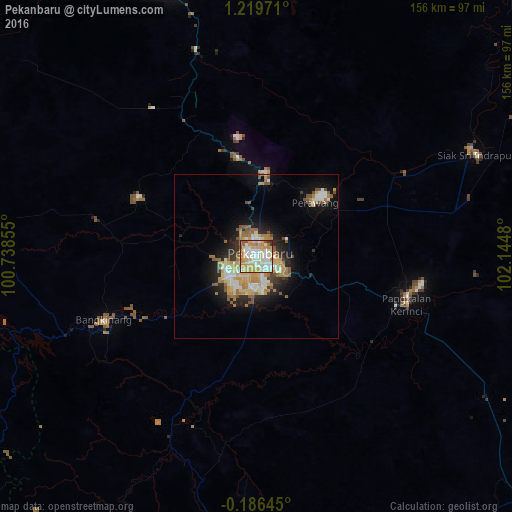
Analysis of Pekanbaru night lights 2016
Square area 10x10 km:
 17.32%
90-99
22.29%80-89
26.62%70-79
16.67%60-69
7.58%50-59
6.93%40-49
0%30-39
1.95%20-29
0.65%10-19
0%0-9
0%Square area 50x50 km:
1.48%90-99
2.51%80-89
2.86%70-79
2.32%60-69
2.49%50-59
1.76%40-49
1.04%30-39
0.93%20-29
3.04%10-19
6.91%0-9
74.66%Clear (daylight) street map image can be seen on geolist.org.
Map coordinates:
1° 13' 11" North, 100° 44' 18.8" East
0° 31' 0" North, 101° 26' 30" East
0° 11' 11.2" South, 102° 8' 41.3" East
Some cities around Pekanbaru sort by population:
• Padang
202.9 km =126.1 mi,  216°
216°
• Dumai
127.9 km =79.5 mi,  0°
0°
• Payakumbuh
121.3 km =75.4 mi,  227°
227°
• Bukittinggi
150.4 km =93.5 mi, 232°
• Pariaman
193.8 km =120.4 mi, 229°
• Balaipungut
62.7 km =39 mi,  344°
344°
• Solok
170.5 km =105.9 mi,  210°
210°
• Sijunjung
144.8 km =90 mi,  200°
200°
1631761 (p: 703,956)
Sources (retrieved 2019-11-25):
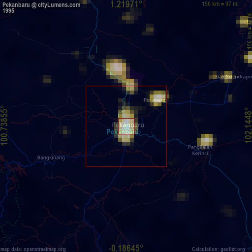
» NASA, Earths city lights 1995
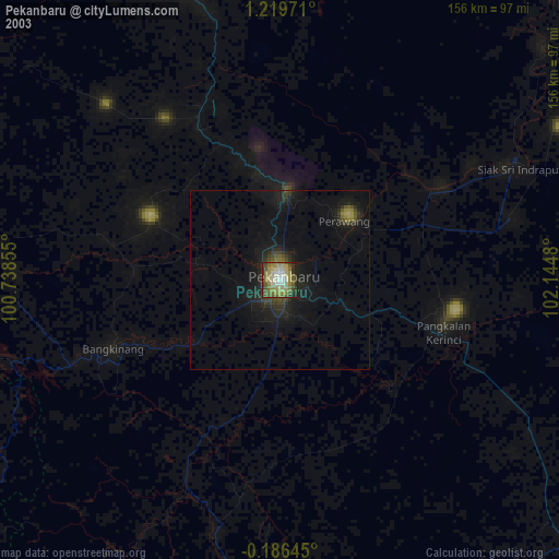
» NASA city lights 2003
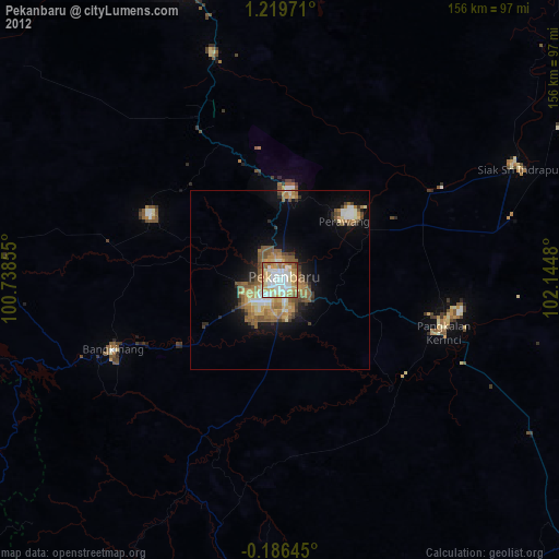
» Earth at Night: Flat Maps 2012, 2016