Rajapolah night lights from space
Night Light of Rajapolah (West Java) from space (Indonesia) Src. Average luminocity for 10x10km area is 13.3225% and for 50x50km: 8.161%.
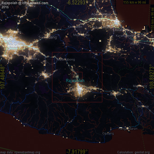
Analysis of Rajapolah night lights 2016
Square area 10x10 km:
 0%
0%90-99
0%80-89
0%70-79
0%60-69
0%50-59
2.81%40-49
6.06%30-39
7.36%20-29
7.58%10-19
15.37%0-9
60.82%Square area 50x50 km:
0.52%90-99
0.58%80-89
0.57%70-79
0.8%60-69
1.15%50-59
1.95%40-49
3.06%30-39
1.83%20-29
2.85%10-19
5.54%0-9
81.16%Clear (daylight) street map image can be seen on geolist.org.
Map coordinates:
6° 31' 22.5" South, 107° 29' 11.3" East
7° 13' 15.6" South, 108° 11' 22.6" East
7° 55' 4.8" South, 108° 53' 33.8" East
Some cities around Rajapolah sort by population:
• Tasikmalaya
12.3 km =7.6 mi,  163°
163°
• Paseh
48.8 km =30.3 mi,  285°
285°
• Ciamis
21.5 km =13.4 mi,  122°
122°
• Majalengka
43 km =26.7 mi,  5°
5°
• Kuningan
42.3 km =26.3 mi,  49°
49°
• Kawalu
18 km =11.2 mi,  173°
173°
• Singaparna
16.9 km =10.5 mi,  210°
210°
• Wanaraja
23.6 km =14.7 mi,  282°
282°
1630200 (p: 39,840)
Sources (retrieved 2019-11-25):
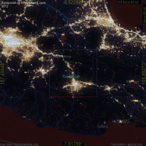
» Earth at Night: Flat Maps 2012, 2016