Kuningan night lights from space
Night Light of Kuningan (West Java) from space (Indonesia) Src. Average luminocity for 10x10km area is 29.4481% and for 50x50km: 7.2611%.
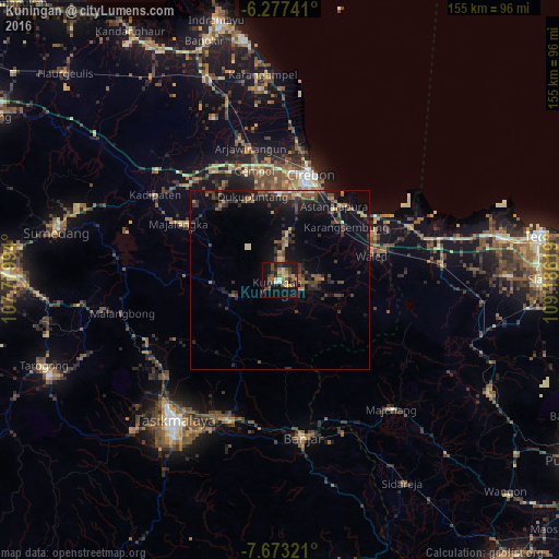
Analysis of Kuningan night lights 2016
Square area 10x10 km:
 0.43%
0.43%90-99
2.16%80-89
4.33%70-79
5.84%60-69
3.68%50-59
7.58%40-49
5.84%30-39
6.06%20-29
6.71%10-19
33.33%0-9
24.03%Square area 50x50 km:
0.03%90-99
0.31%80-89
0.67%70-79
0.87%60-69
0.96%50-59
1.47%40-49
2.02%30-39
1.98%20-29
2.58%10-19
6.97%0-9
82.14%Clear (daylight) street map image can be seen on geolist.org.
Map coordinates:
6° 16' 38.7" South, 107° 46' 47.8" East
6° 58' 33" South, 108° 28' 59" East
7° 40' 23.6" South, 109° 11' 10.3" East
Some cities around Kuningan sort by population:
• Cirebon
31.1 km =19.3 mi,  15°
15°
• Plumbon
30.1 km =18.7 mi,  357°
357°
• Astanajapura
25.3 km =15.7 mi,  40°
40°
• Weru
29.5 km =18.3 mi,  4°
4°
• Sumber
24 km =14.9 mi, 0°
• Palimanan
30.6 km =19 mi,  347°
347°
• Klangenan
30 km =18.6 mi, 350°
• Karangsembung
22.5 km =14 mi,  51°
51°
1639094 (p: 72,085)
Sources (retrieved 2019-11-25):
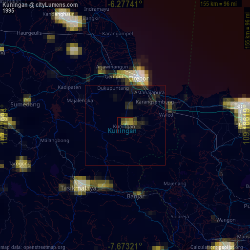
» NASA, Earths city lights 1995
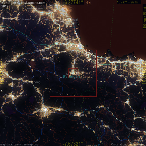
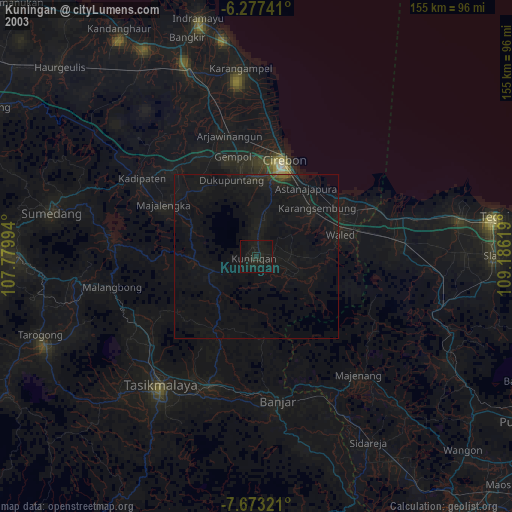
» NASA city lights 2003
» Earth at Night: Flat Maps 2012, 2016