Kawalu night lights from space
Night Light of Kawalu (West Java) from space (Indonesia) Src. Average luminocity for 10x10km area is 48.6558% and for 50x50km: 7.3638%.
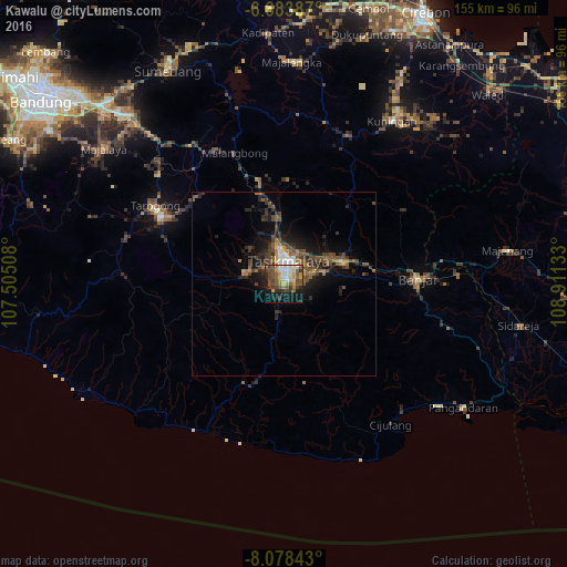
Analysis of Kawalu night lights 2016
Square area 10x10 km:
 4.98%
4.98%90-99
6.93%80-89
7.36%70-79
9.74%60-69
3.03%50-59
13.2%40-49
15.58%30-39
7.36%20-29
8.01%10-19
18.61%0-9
5.19%Square area 50x50 km:
0.51%90-99
0.57%80-89
0.56%70-79
0.73%60-69
1.06%50-59
1.72%40-49
2.68%30-39
1.58%20-29
2.44%10-19
5.16%0-9
83%Clear (daylight) street map image can be seen on geolist.org.
Map coordinates:
6° 41' 1.9" South, 107° 30' 18.3" East
7° 22' 54.1" South, 108° 12' 29.5" East
8° 4' 42.3" South, 108° 54' 40.8" East
Some cities around Kawalu sort by population:
• Tasikmalaya
6.2 km =3.9 mi,  12°
12°
• Paseh
58 km =36 mi,  302°
302°
• Ciamis
17.2 km =10.7 mi,  68°
68°
• Majalengka
60.7 km =37.7 mi,  2°
2°
• Kuningan
54.4 km =33.8 mi,  33°
33°
• Singaparna
11.2 km =7 mi,  287°
287°
• Rajapolah
18 km =11.2 mi,  353°
353°
• Wanaraja
34 km =21.1 mi,  312°
312°
1640902 (p: 50,541)
Sources (retrieved 2019-11-25):
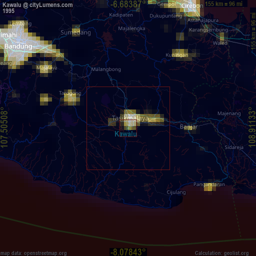
» NASA, Earths city lights 1995
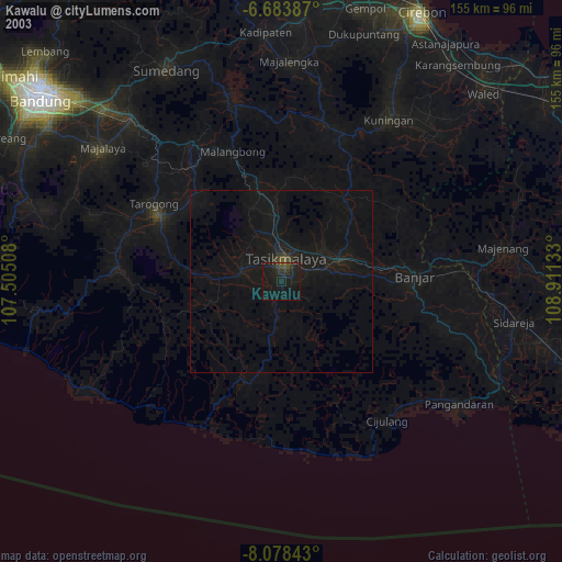
» NASA city lights 2003
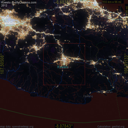
» Earth at Night: Flat Maps 2012, 2016